Camino FrancesJune 2nd to July 4th, 2018
backpacking through the Autonomous regions of northern spain along the Camino Frances
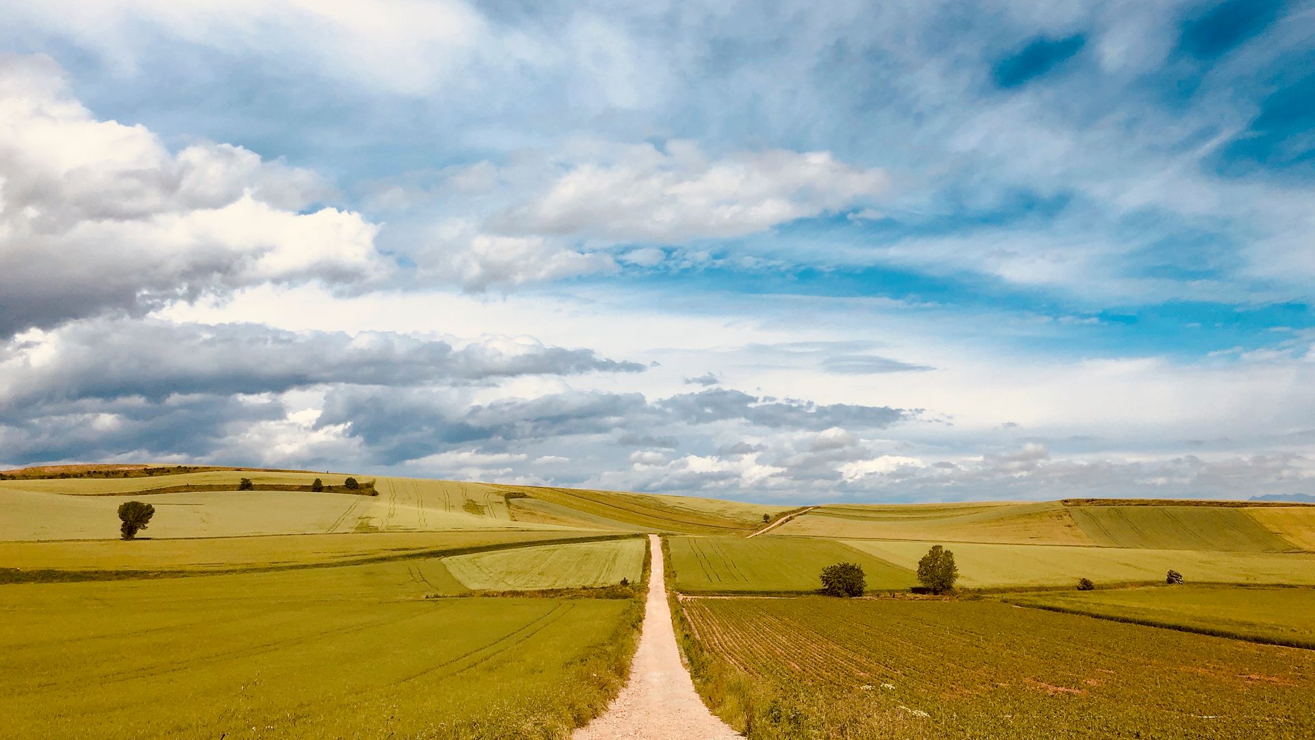
Starting high in the Pyrenees mountains between France and Spain, and leading to the Atlantic ocean, the Camino Frances is part of a series of routes collectively called El Camino de Santiago that covers a wide array of landscapes and cultures over hills and mountains, across deserts, through rivers, and in thick forests.
I spent 35 days walking/hiking 600 miles across Northern Spain.
Autonomous Regions • Northern SpainBackpacking — Europe
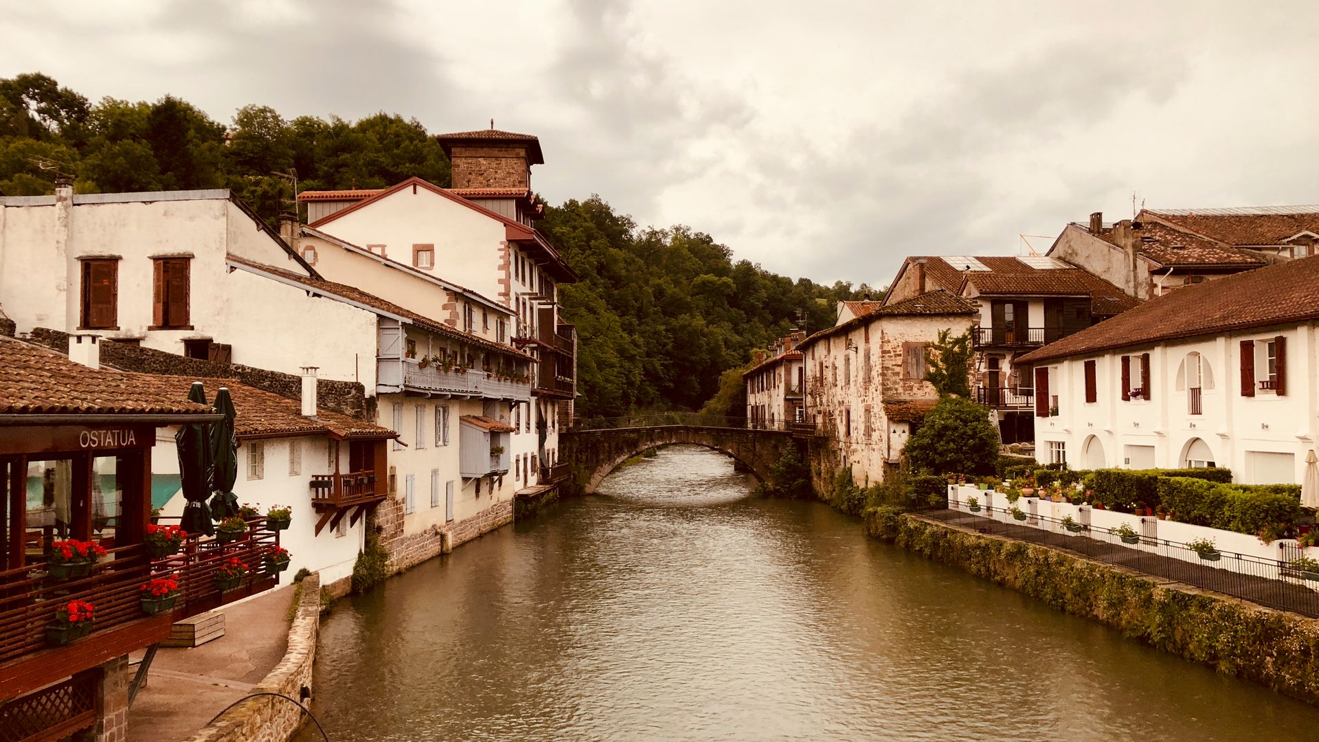
01 of 32Roncesvalles4,700 ft 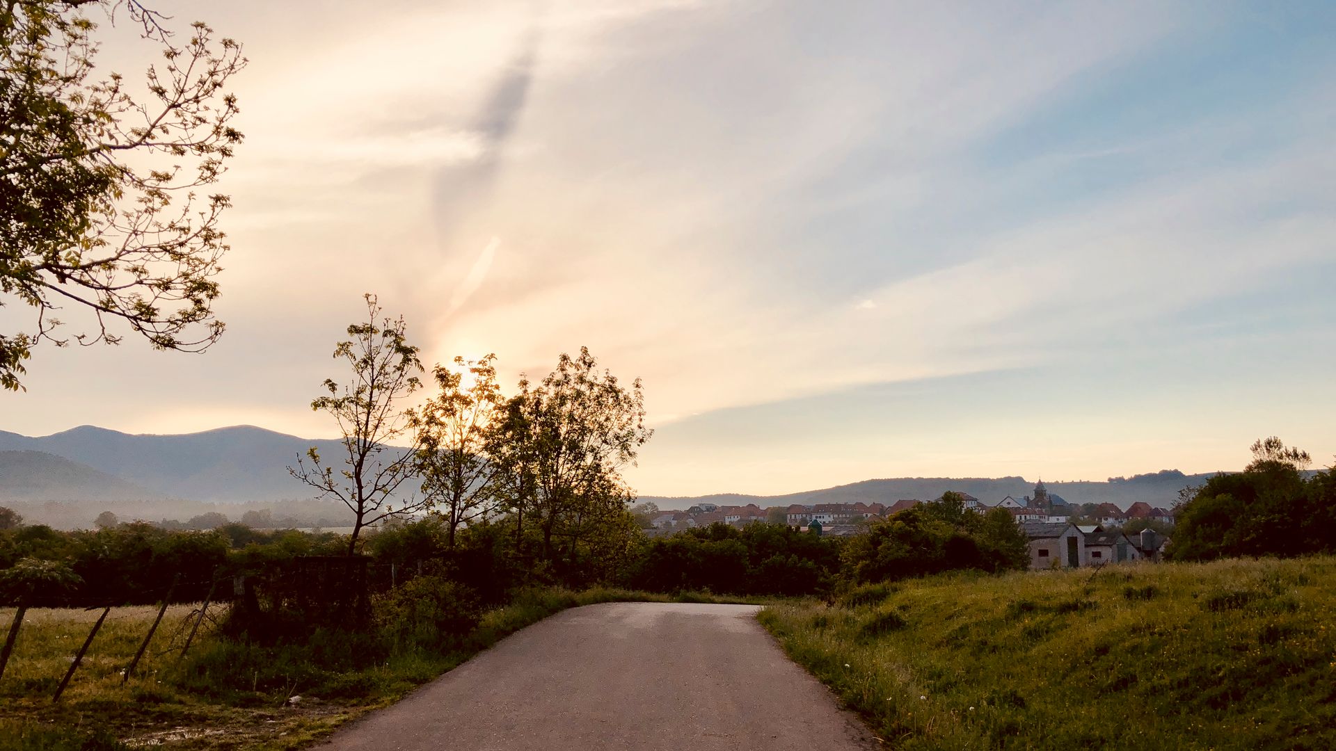
02 of 32Zubiri3,114 ft 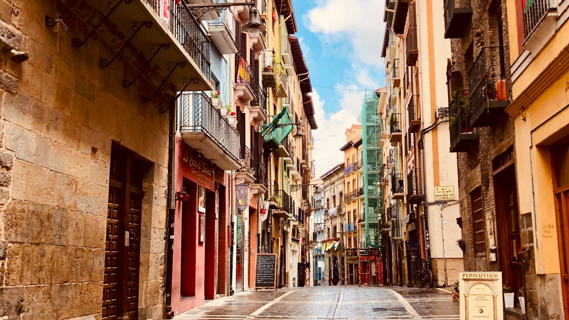
03 of 32Pamplona1,459 ft 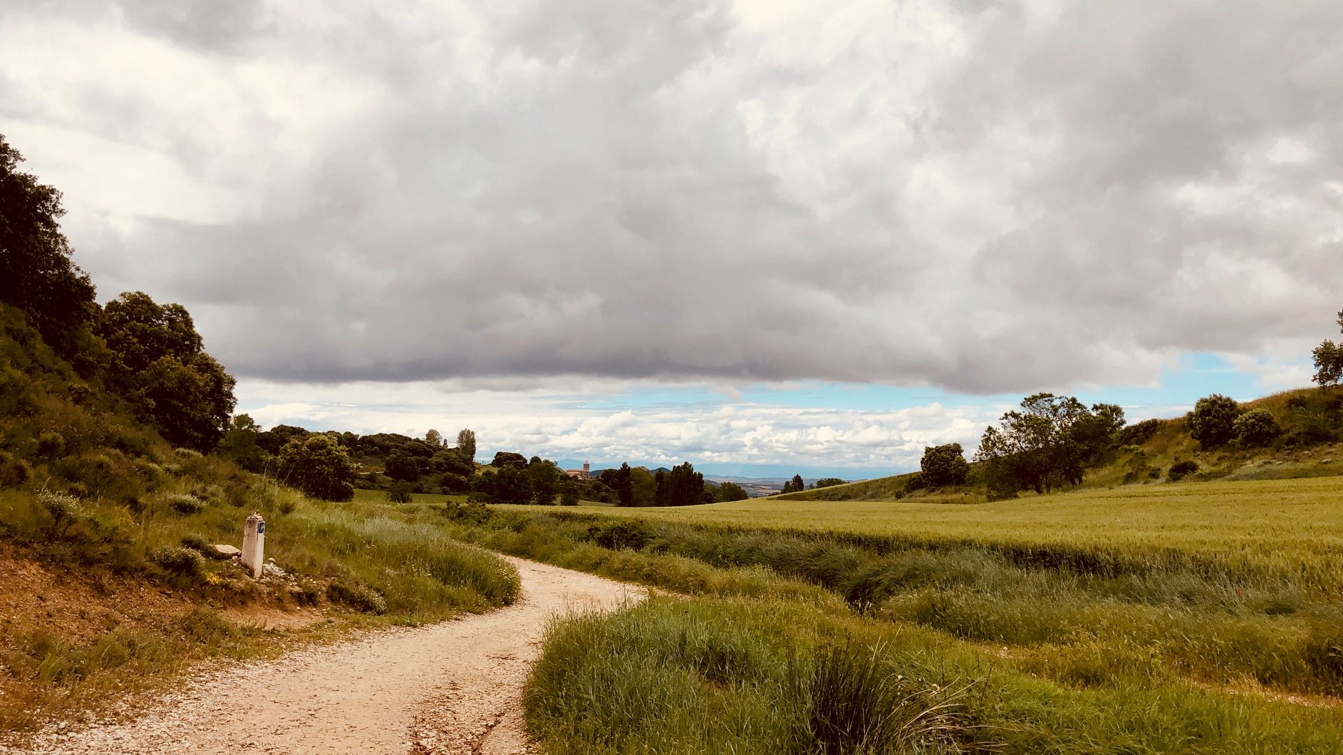
04 of 32Puente la Reina2,510 ft 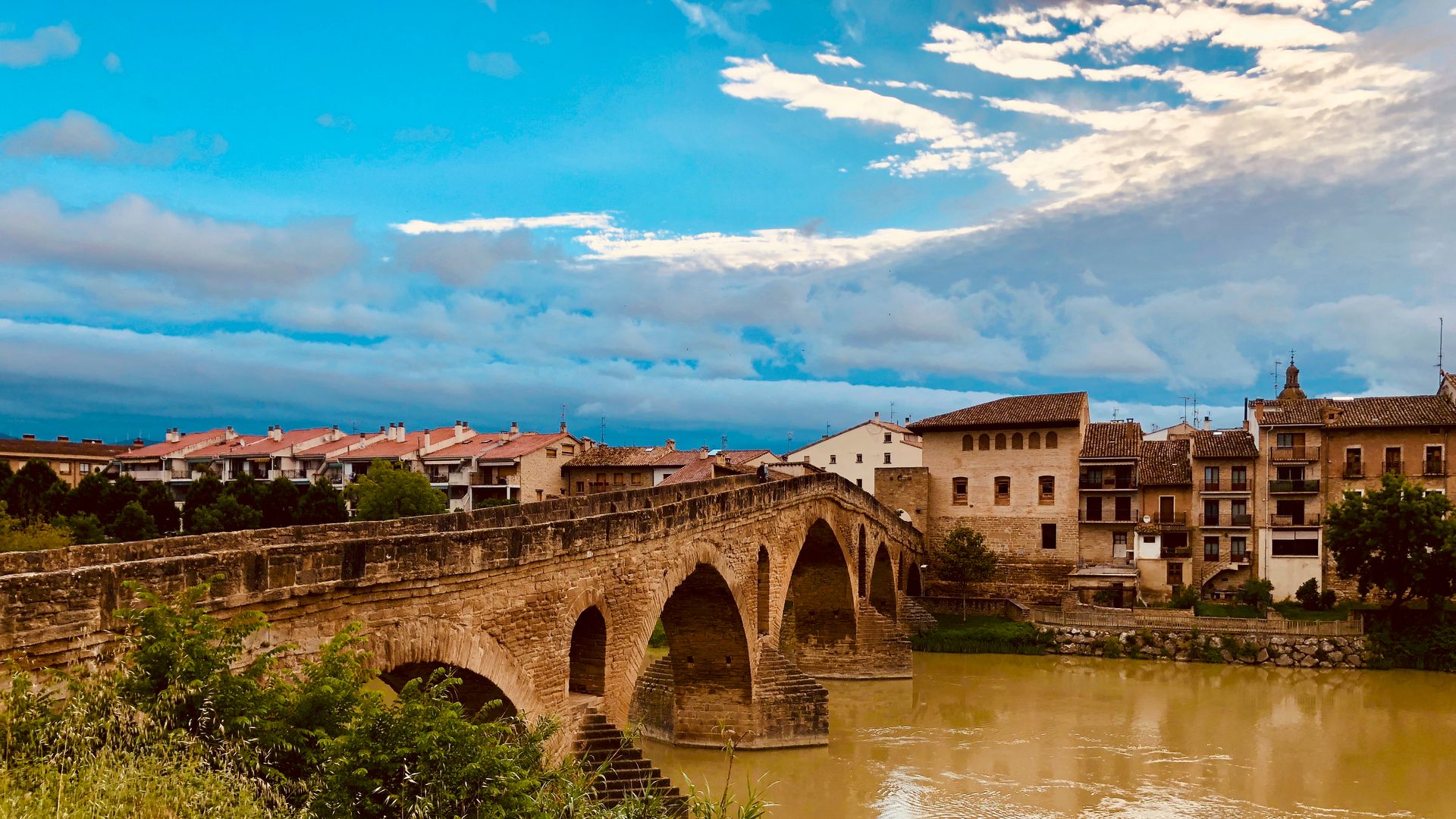
05 of 32Estella1,616 ft 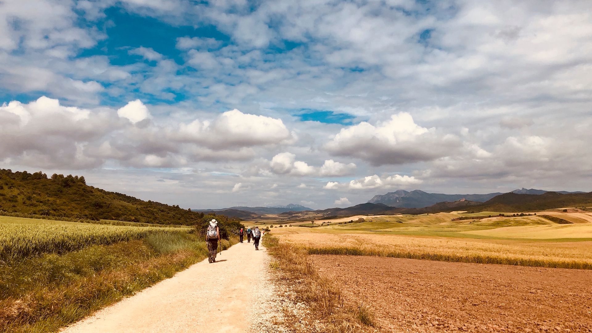
06 of 32Sansol2,205 ft 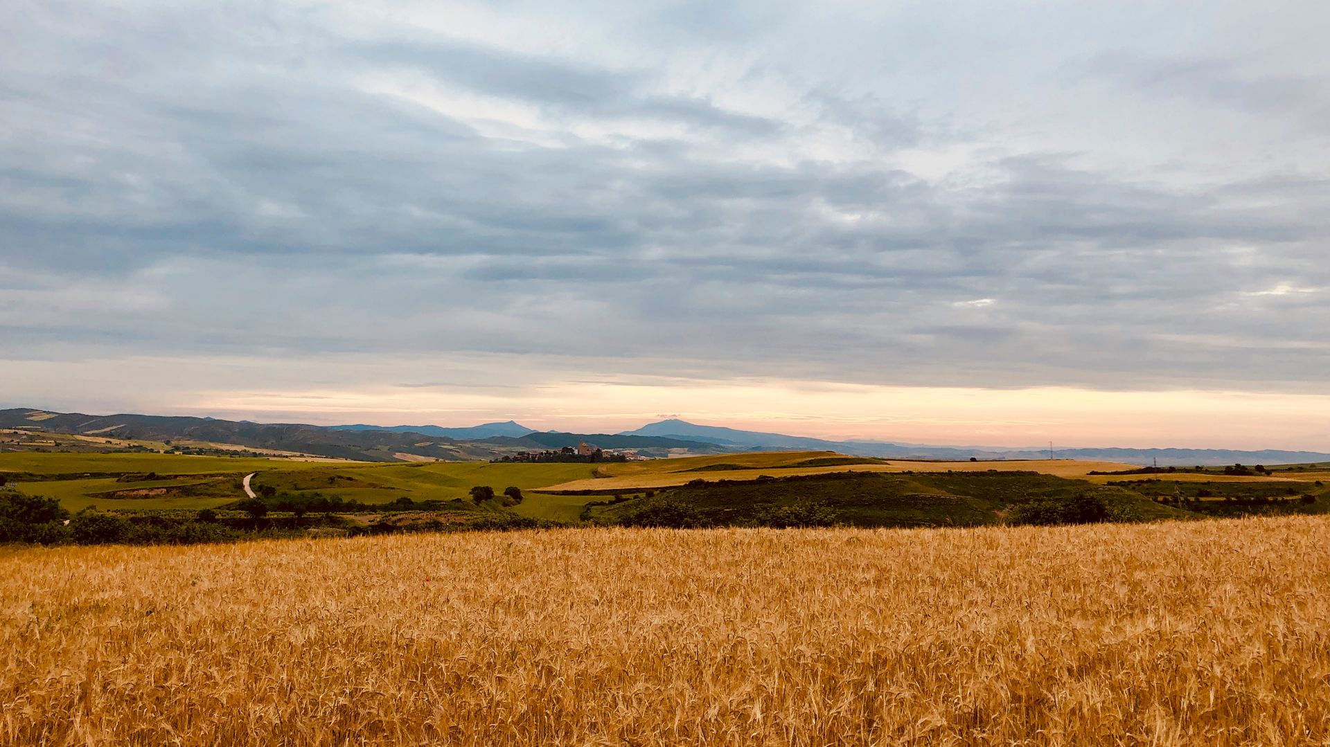
07 of 32Logrono1,898 ft 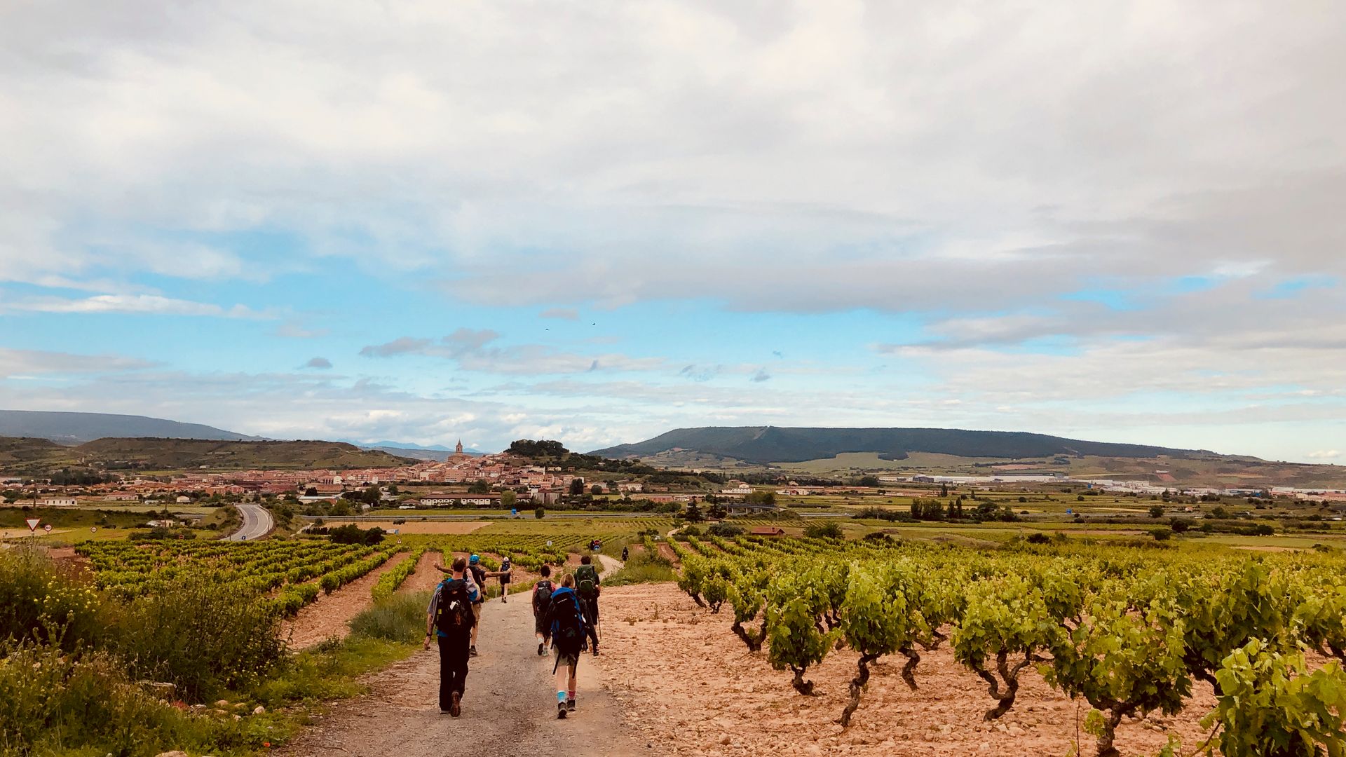
08 of 32Najera2,189 ft 09 of 32Santo Domingo2,476 ft 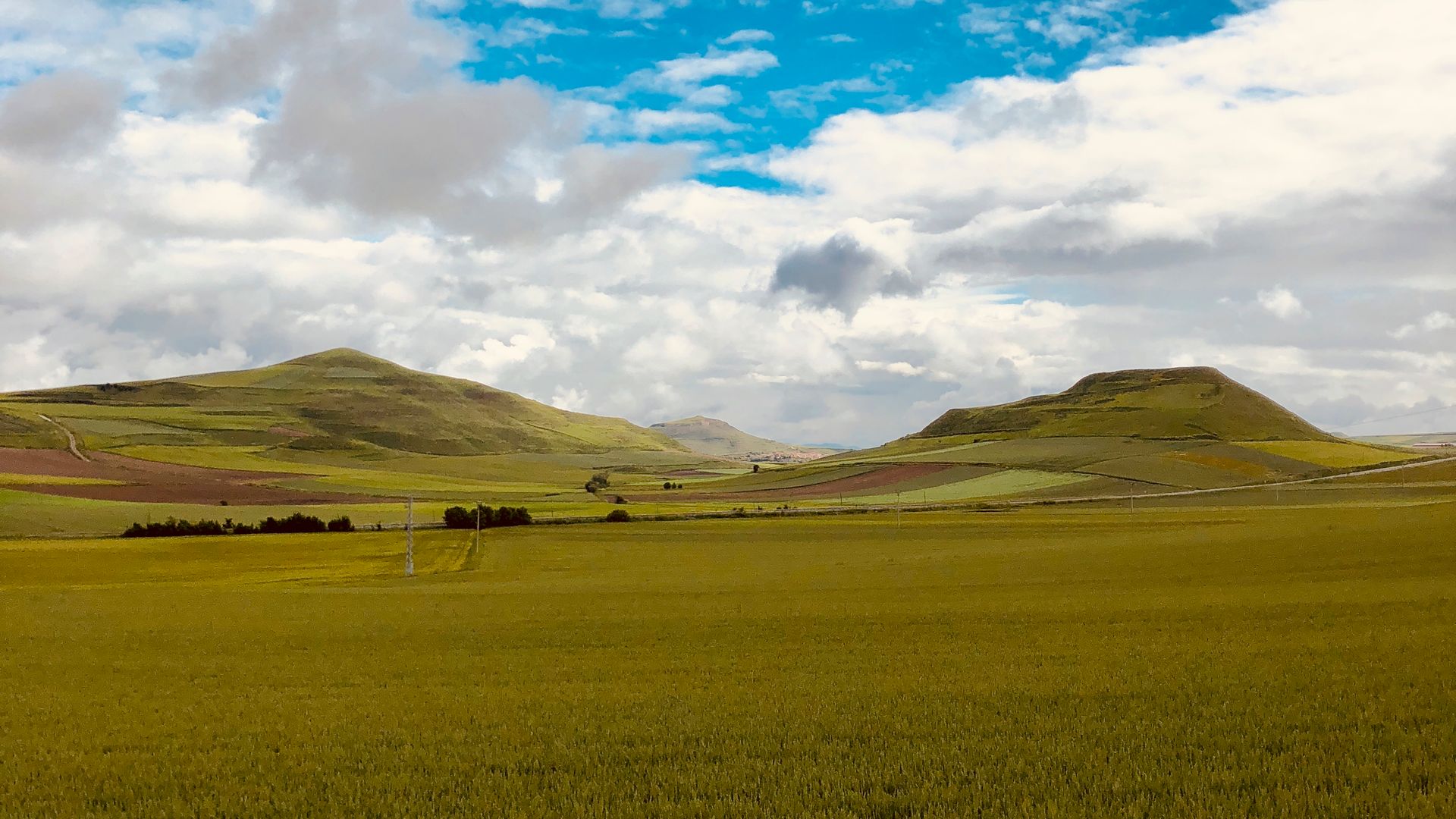
10 of 32Belorado2,707 ft 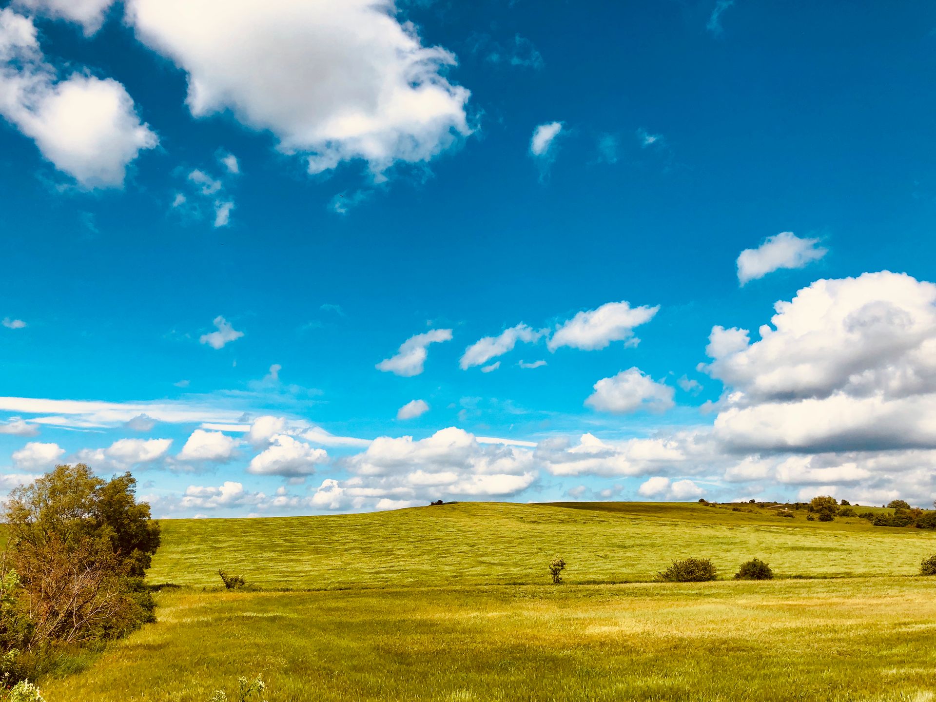
11 of 32Ages3,166 ft 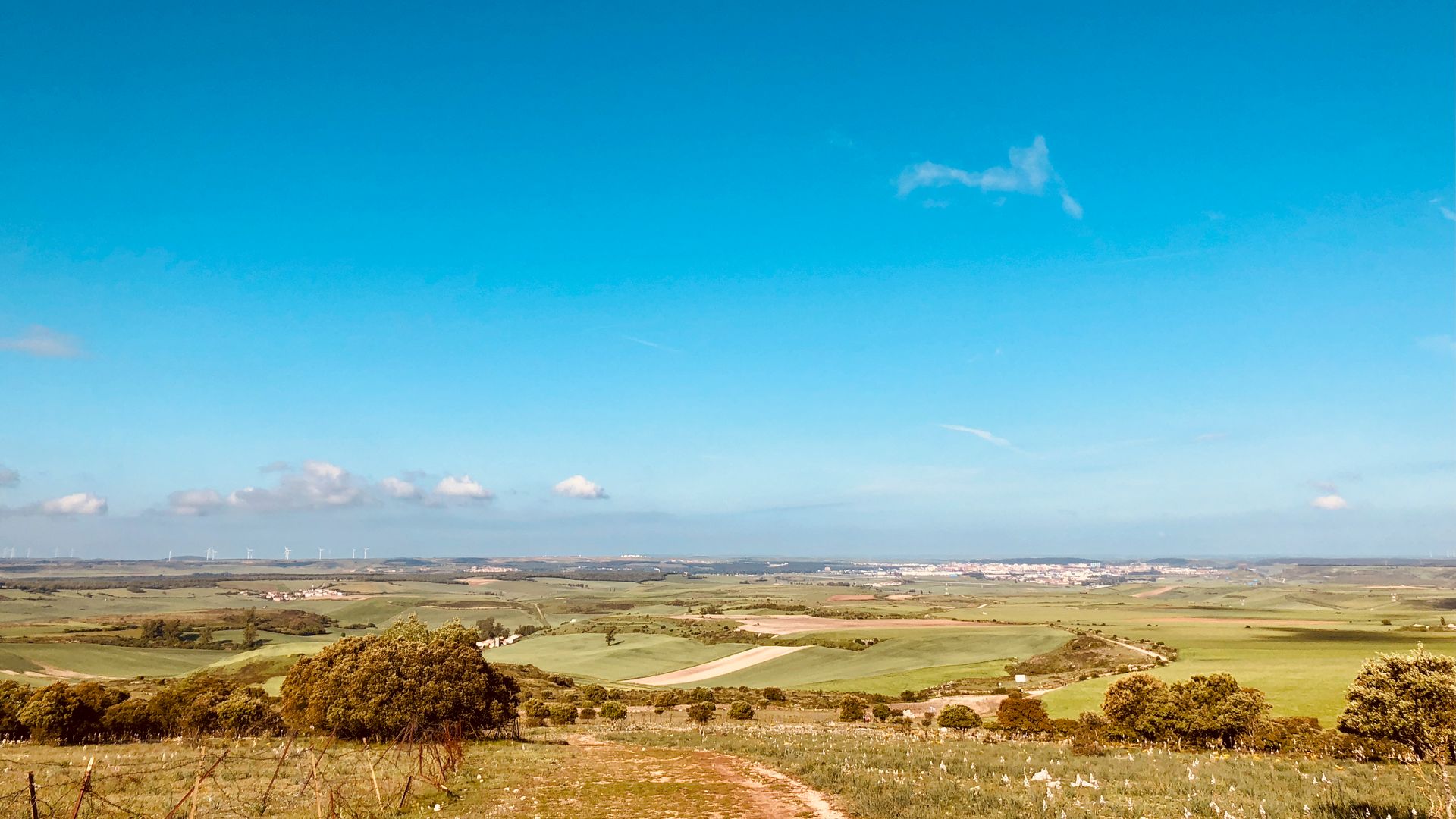
12 of 32Burgos3,528 ft 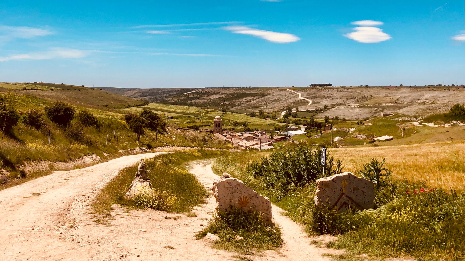
13 of 32Hontanas3,074 ft 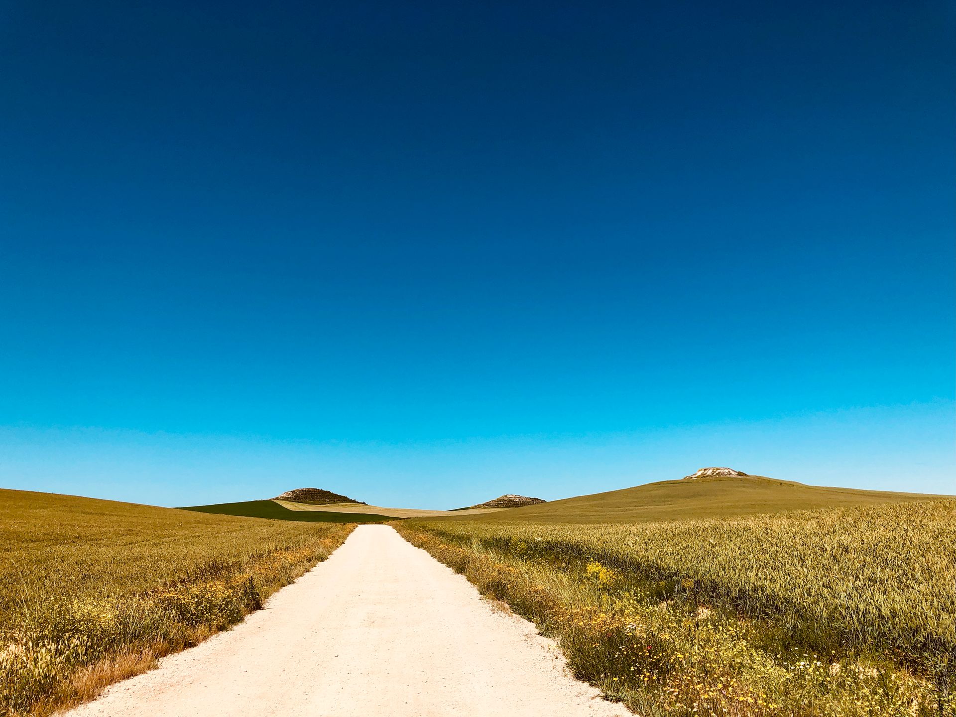
14 of 32Fromista2,999 ft 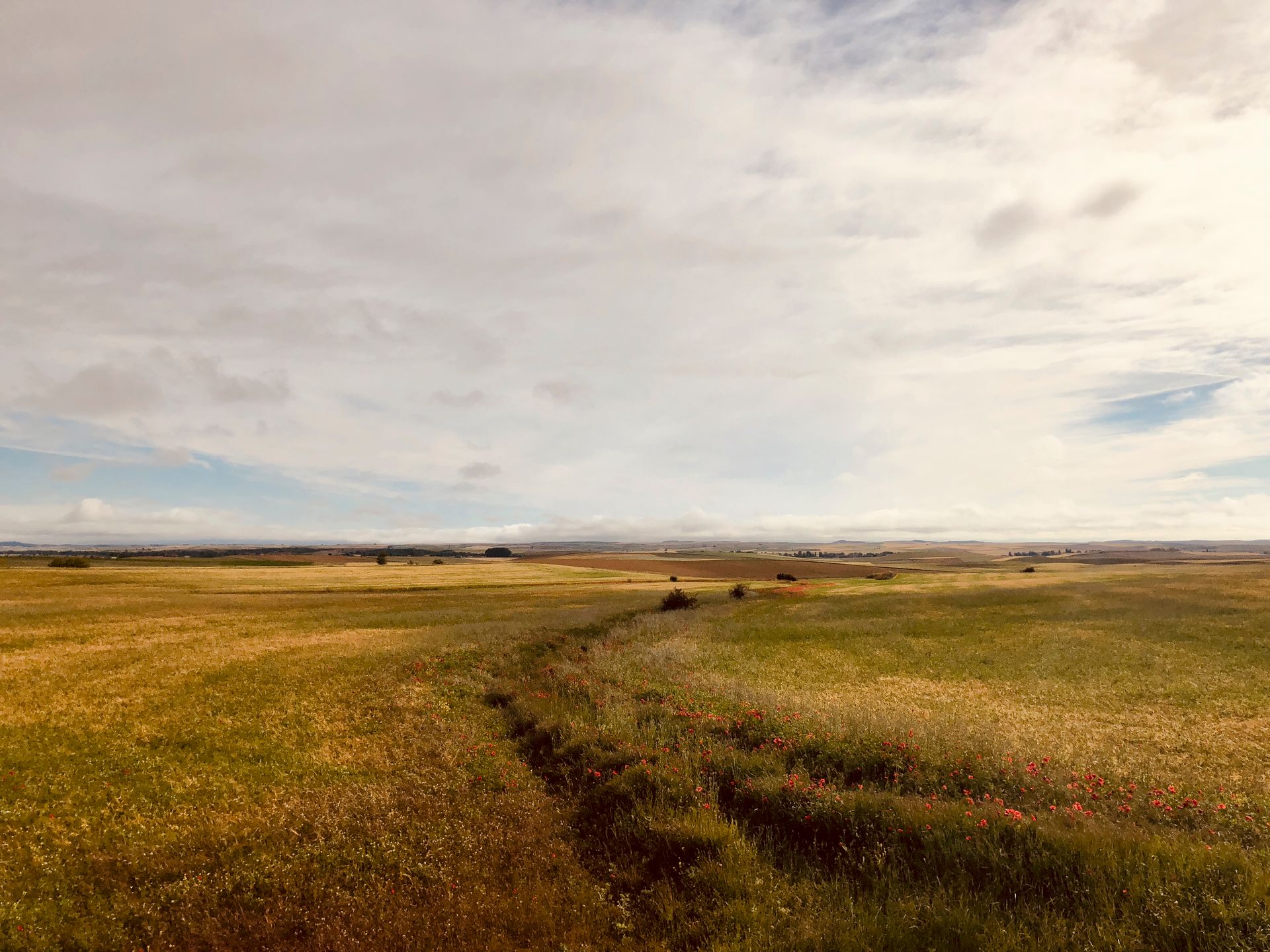
15 of 32Carrión de los Condes2,790 ft 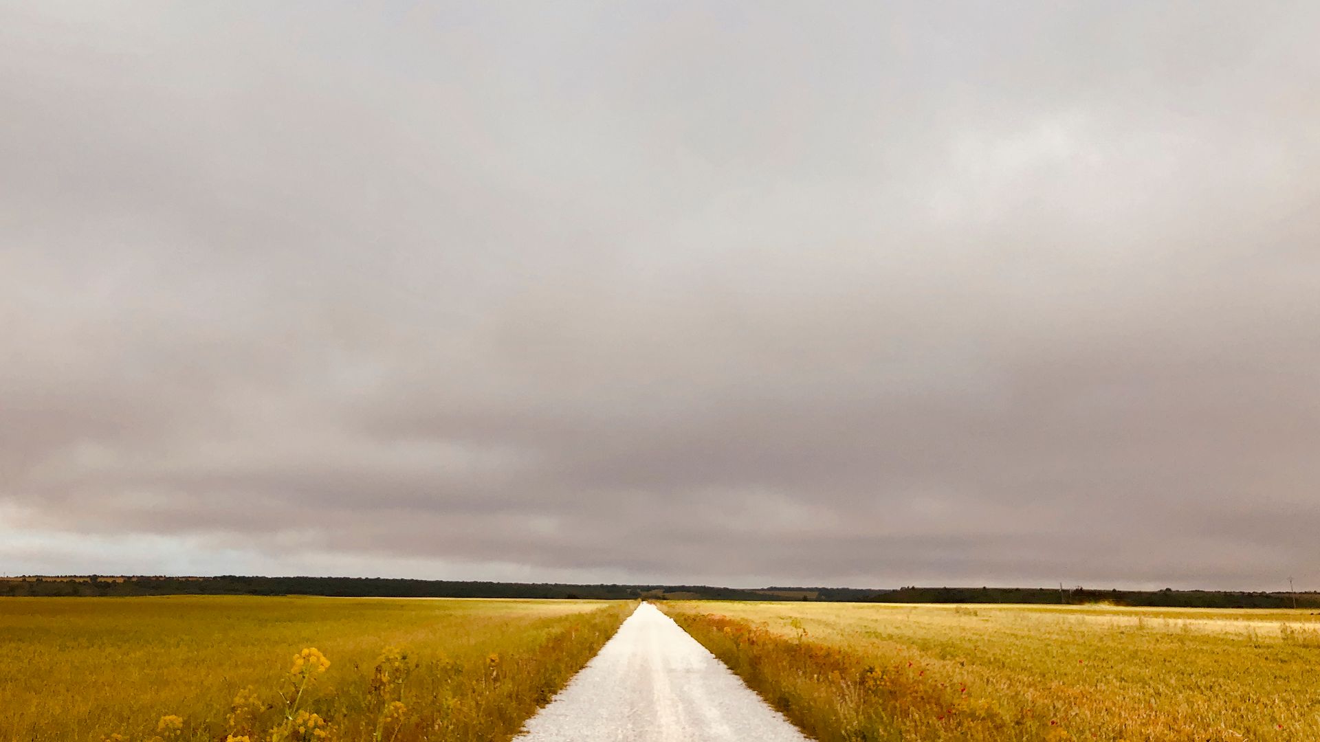
16 of 32Sahagun2,956 ft 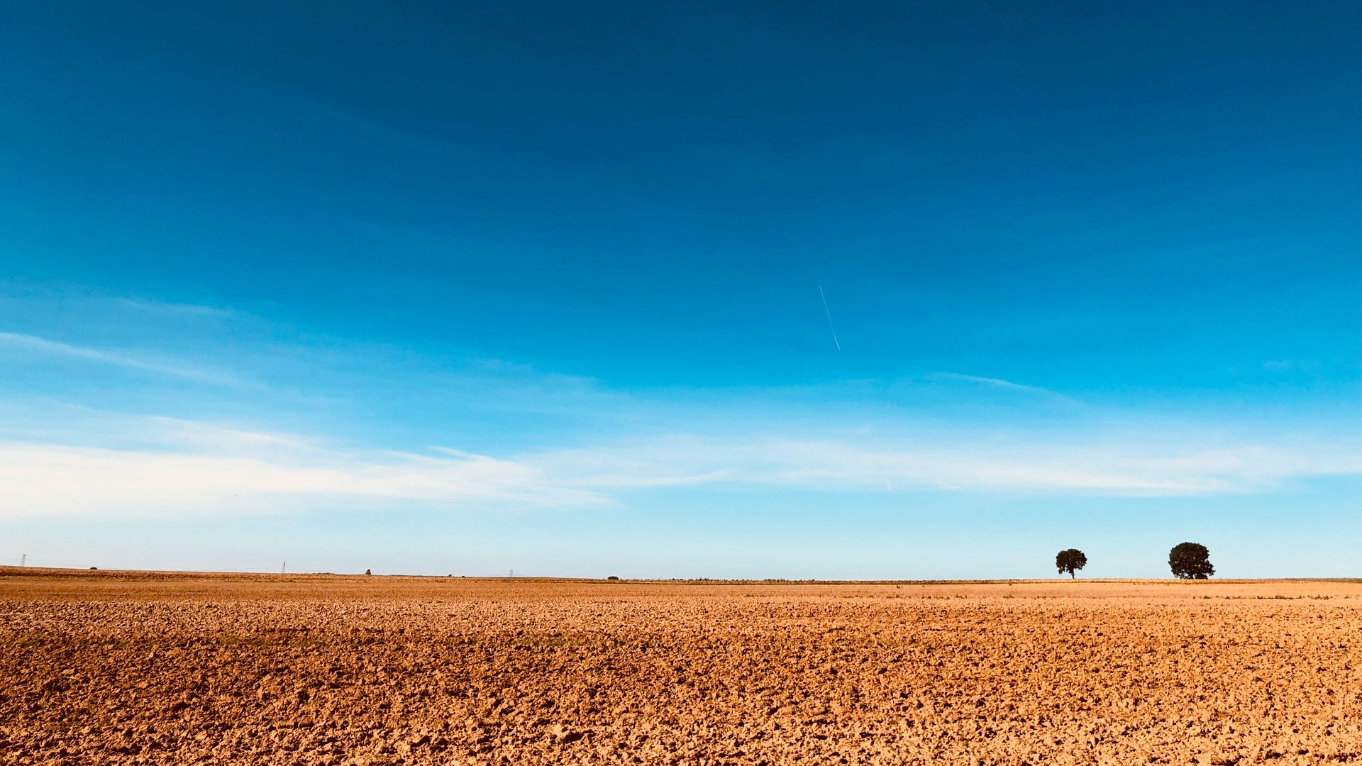
17 of 32Reliegos2,886 ft 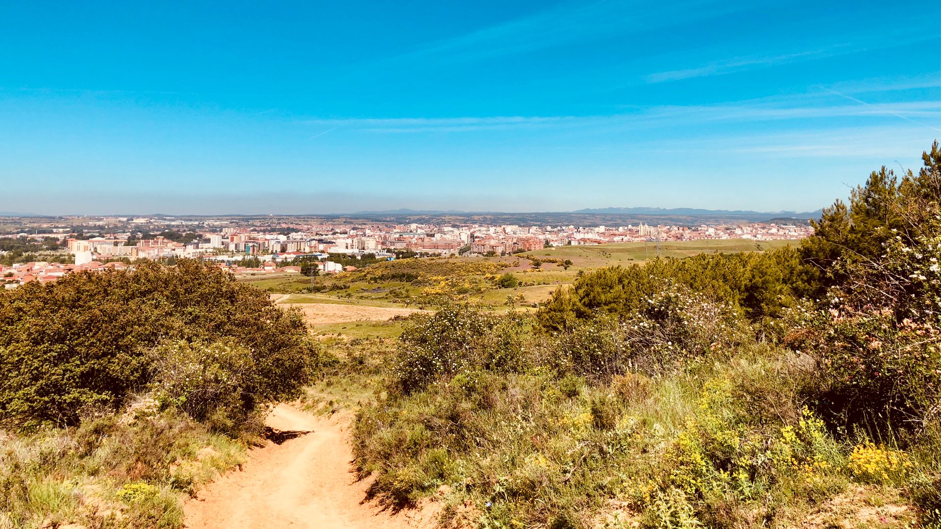
18 of 32León2,724 ft 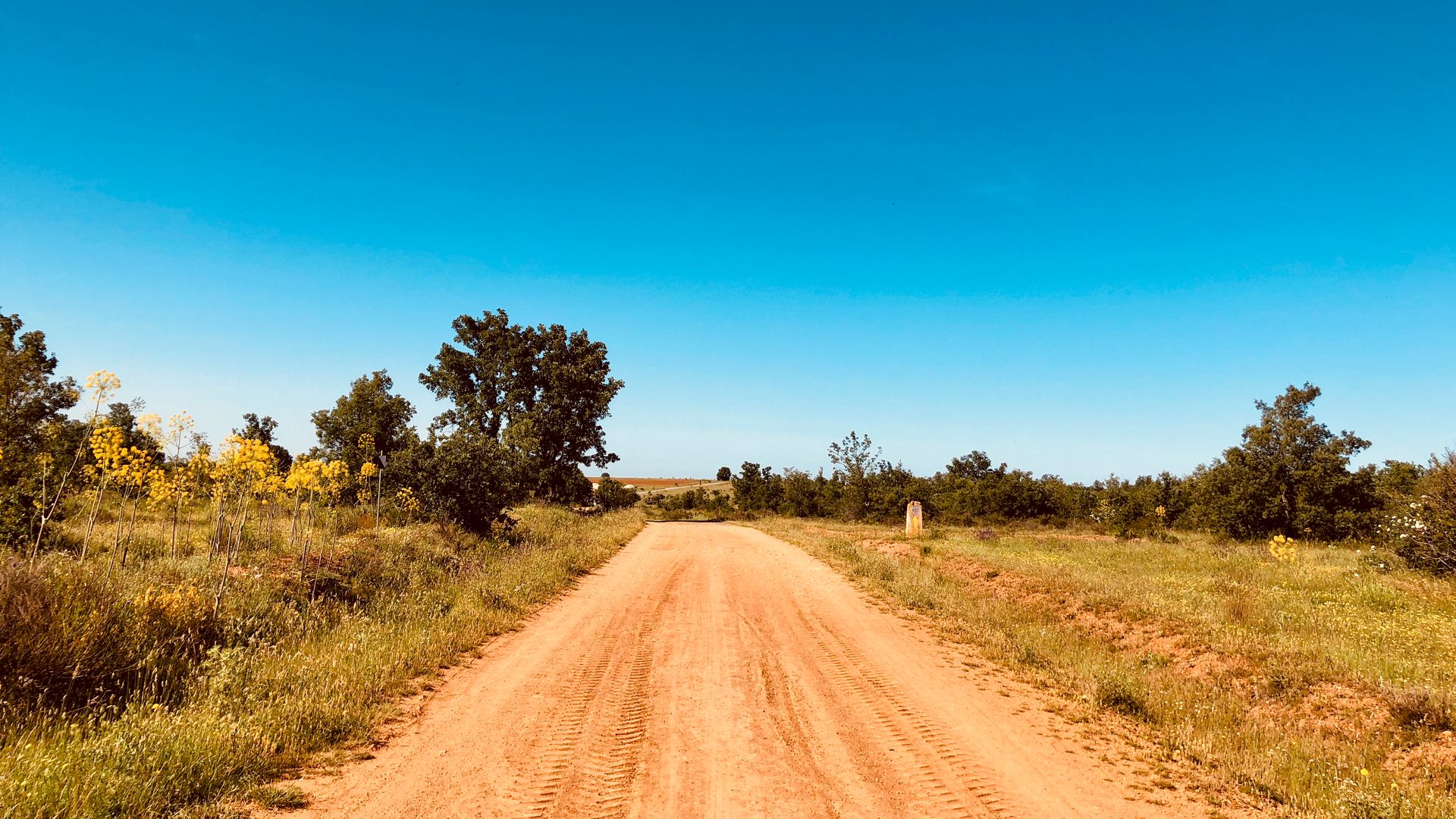
19 of 32Villar de Mazarife2,976 ft 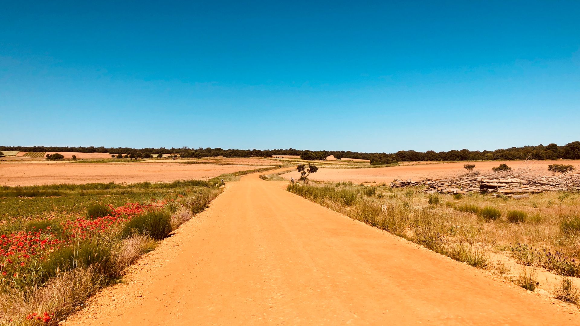
20 of 32Astorga3,019 ft 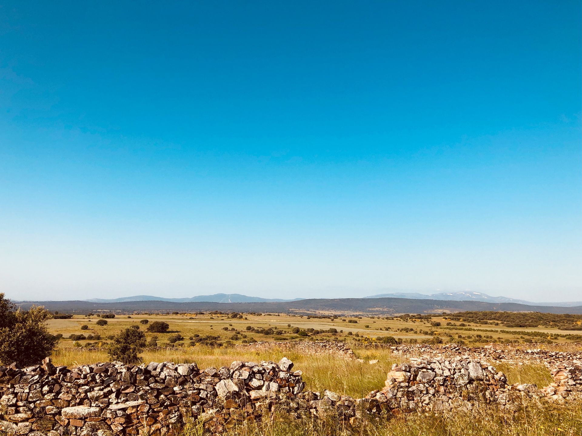
21 of 32Foncebadon4,707 ft 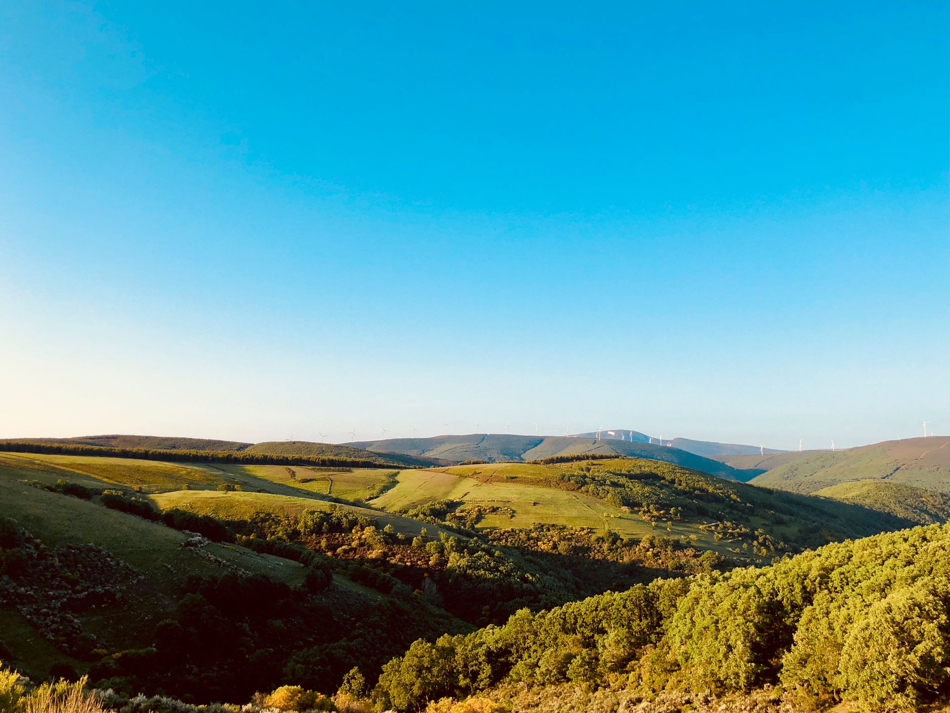
22 of 32Ponferrada4,953 ft 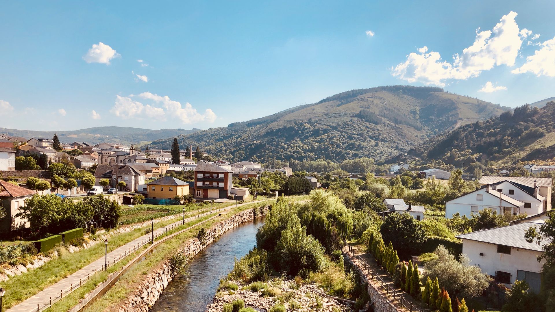
23 of 32Villafranca del Bierzo1,798 ft 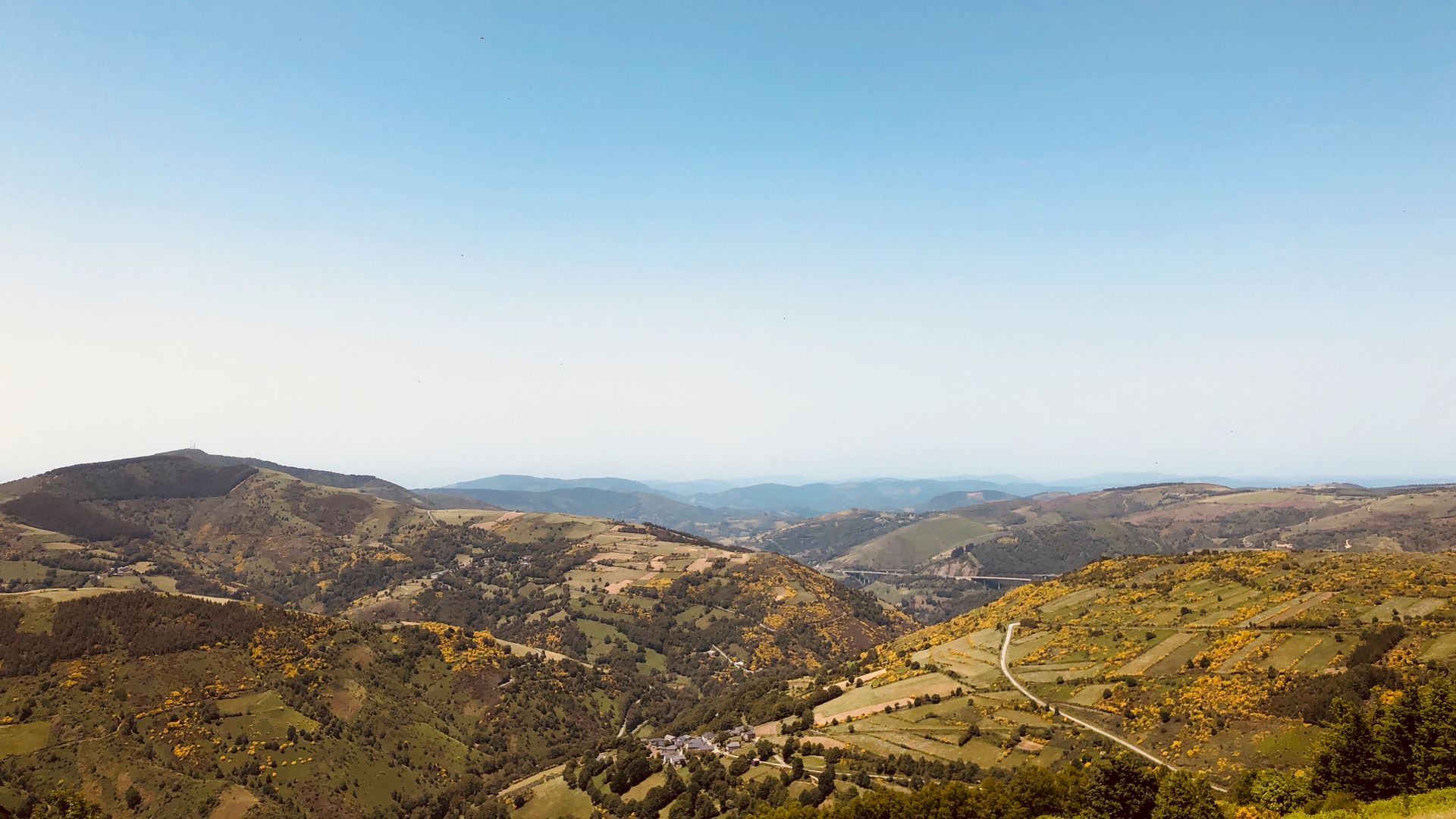
24 of 32O Cebreiro4,305 ft 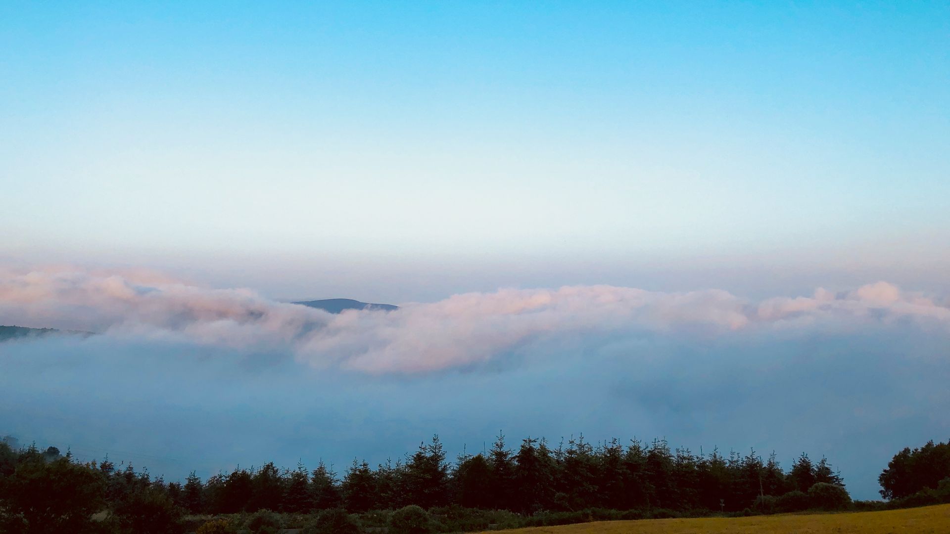
25 of 32Sarria4,415 ft 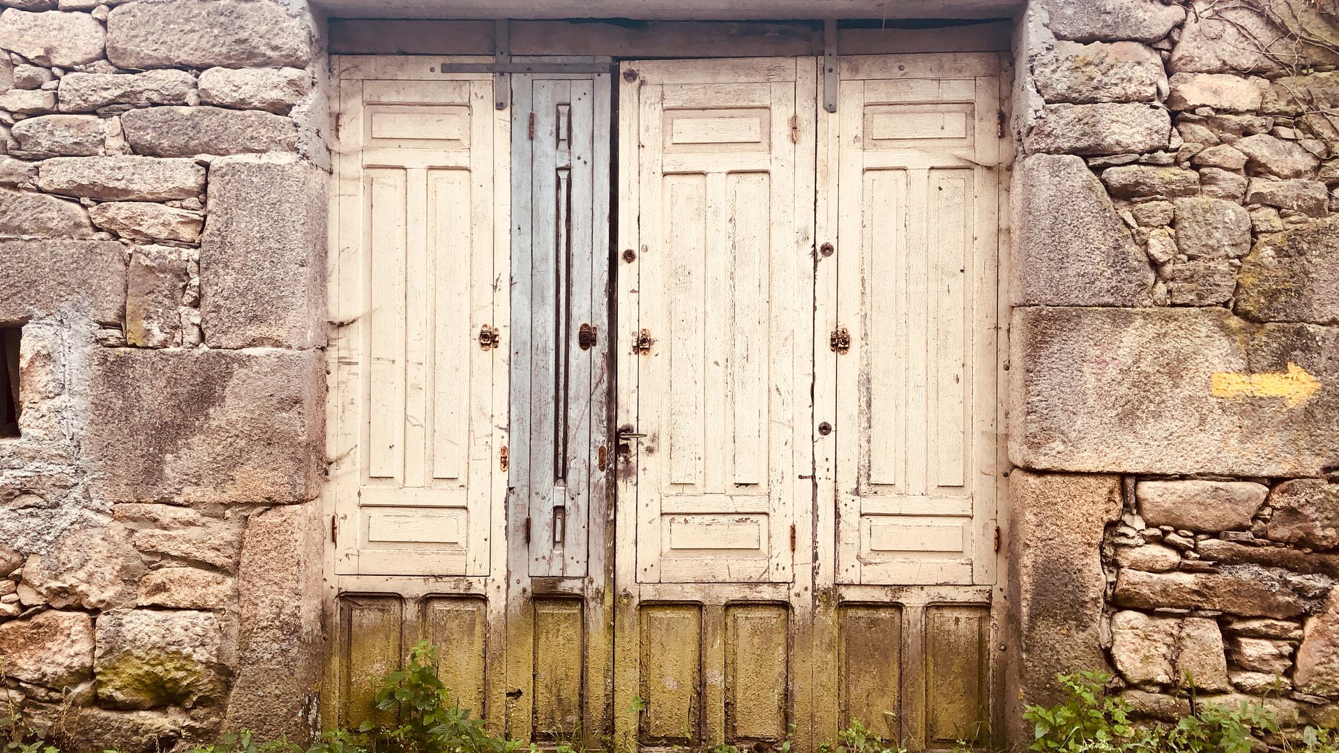
26 of 32Portomarin1,492 ft 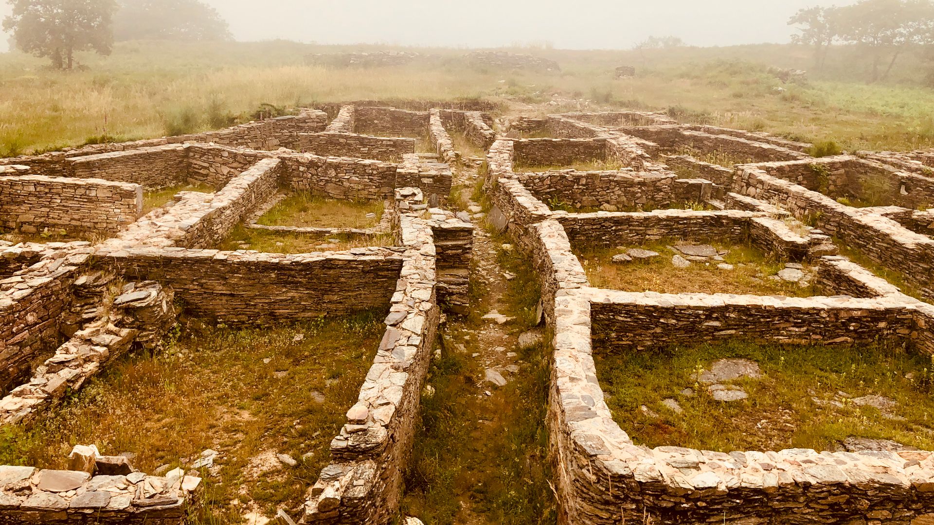
27 of 32Melide2,383 ft 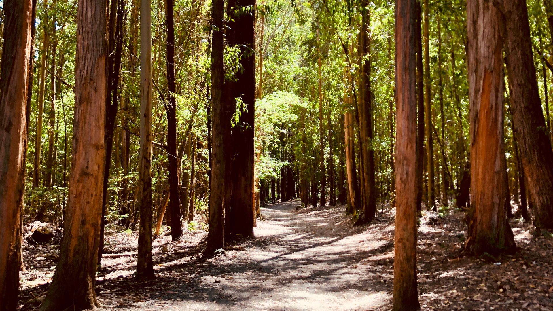
28 of 32Pedrouzo1,494 ft 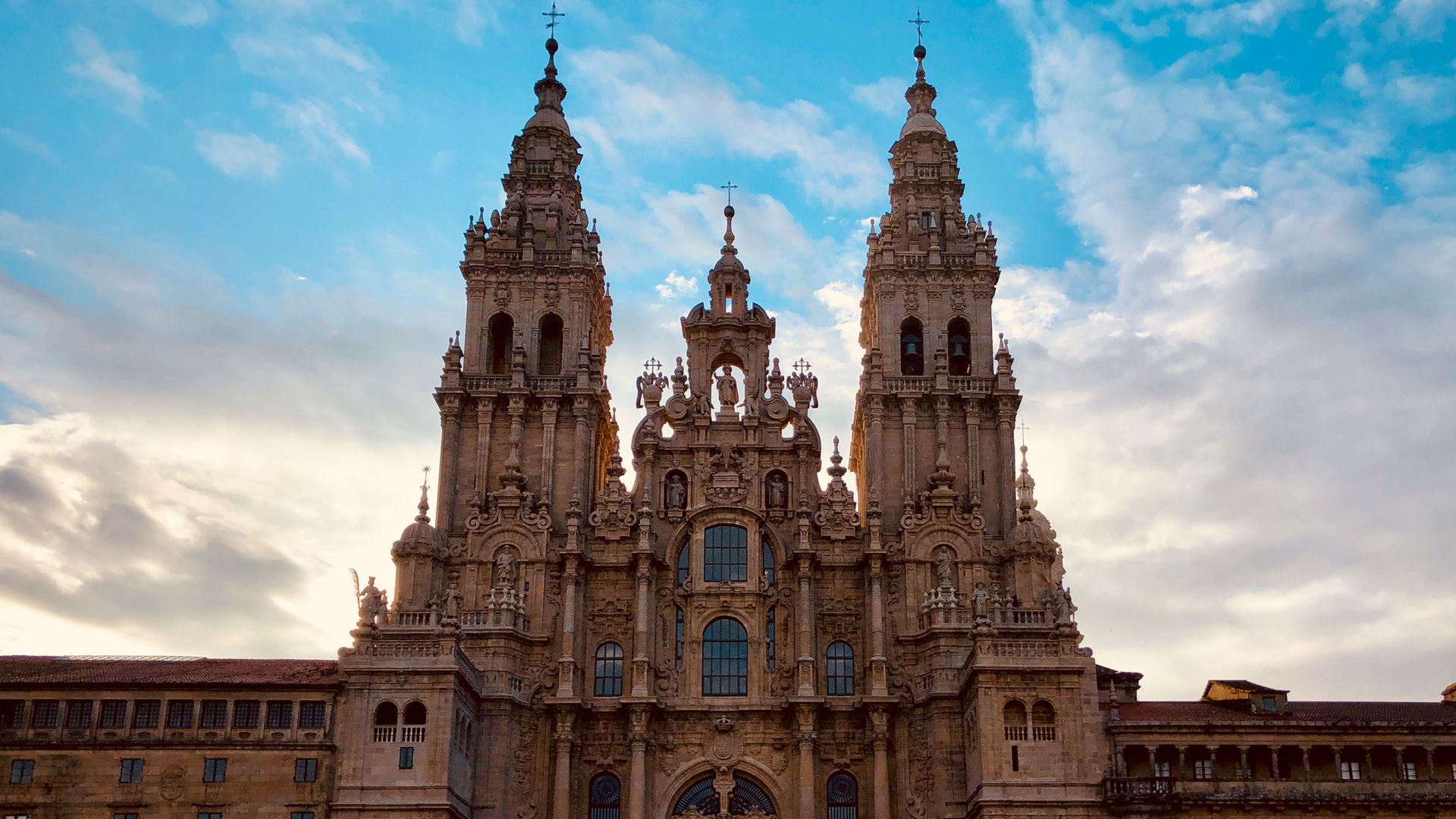
29 of 32Santiago de Compostela876 ft 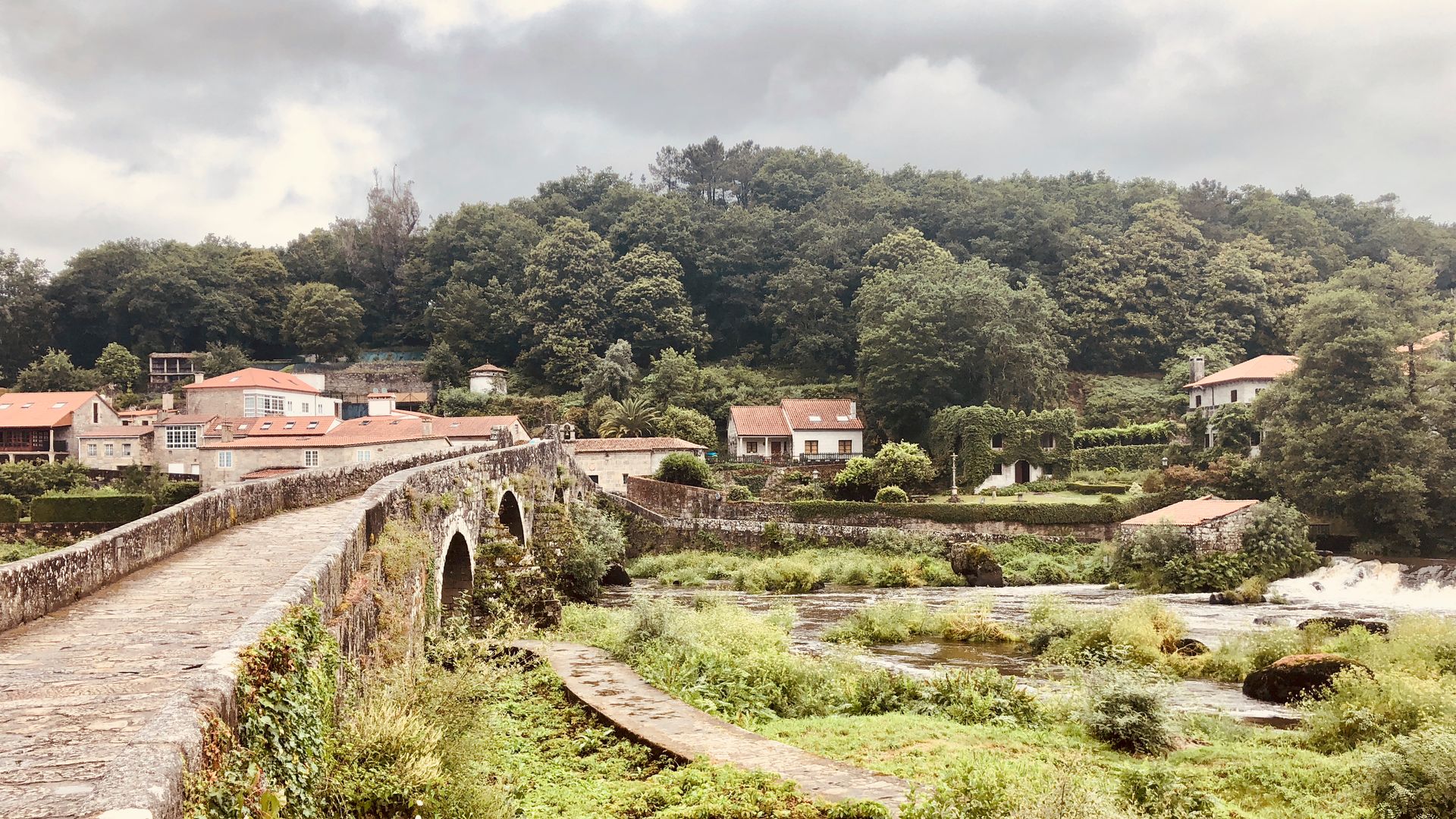
30 of 32Negreira935 ft 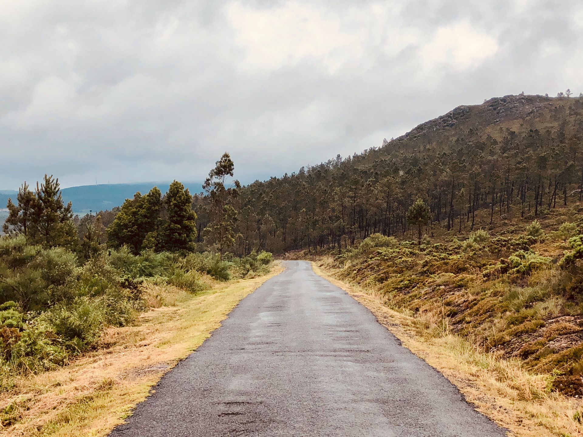
31 of 32Olveiroa900 ft 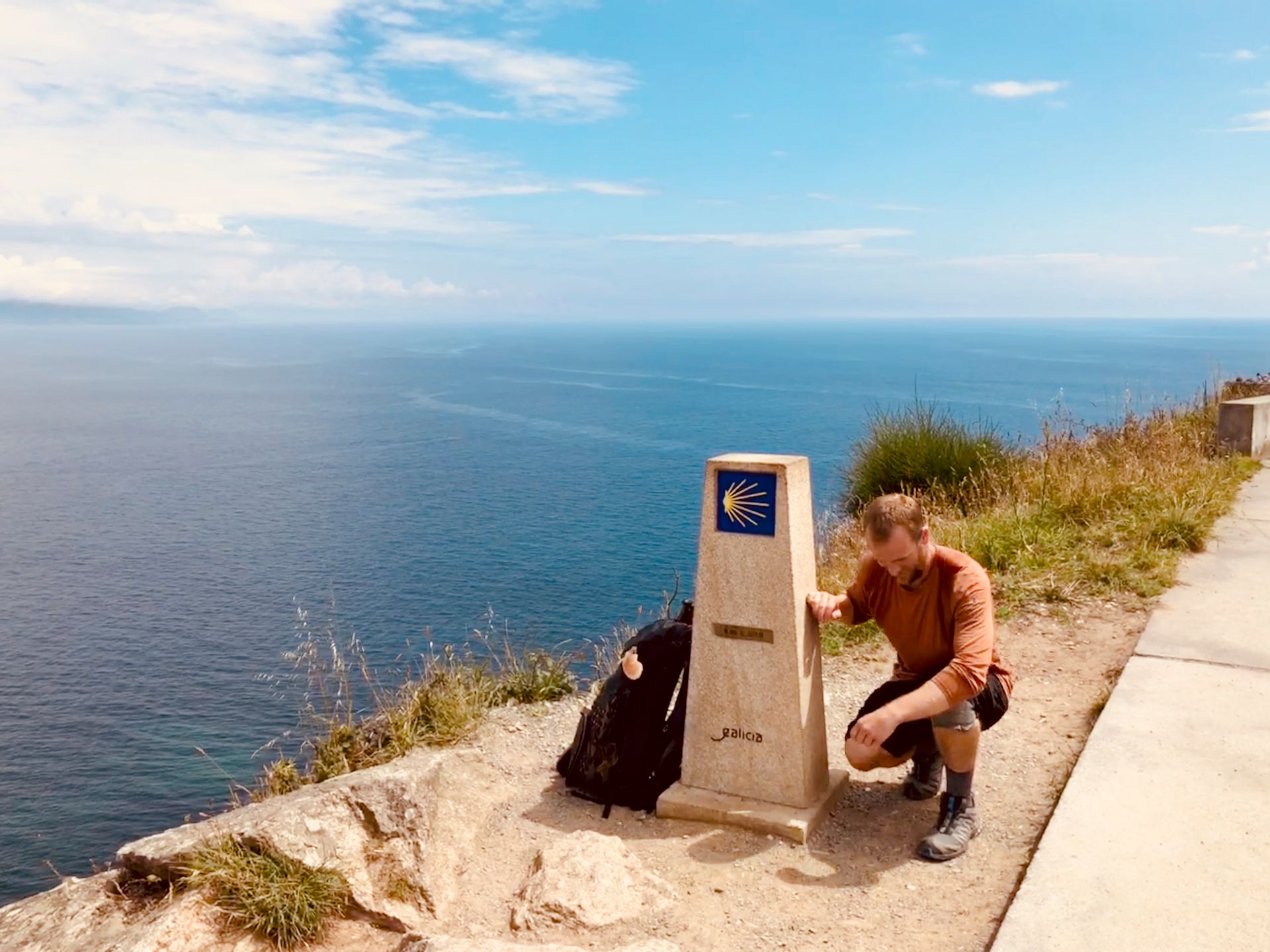
32 of 32Fisterra383 ft