Alta Via 1July 16th to 25th, 2019
thru-hiking in the dolomites of northern italy across the alta via 1
A Northern Italian one-way thru-hike in the Dolomites mountain range on the Alta Via 1 trail, heading North to South. Total distance covered was 65 miles over 10 days, and elevation gains/losses were marginal at 25,109 ft (7,653 m) gained and 28,590 ft (8,714 m) respectively.
This trek had some of the best food I have ever eaten on a thru-hike.
South Tyrol • ItalyBackpacking — Europe
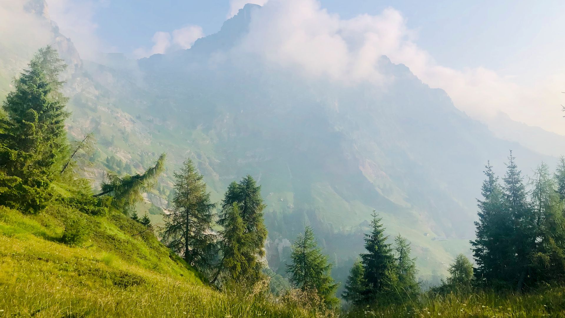
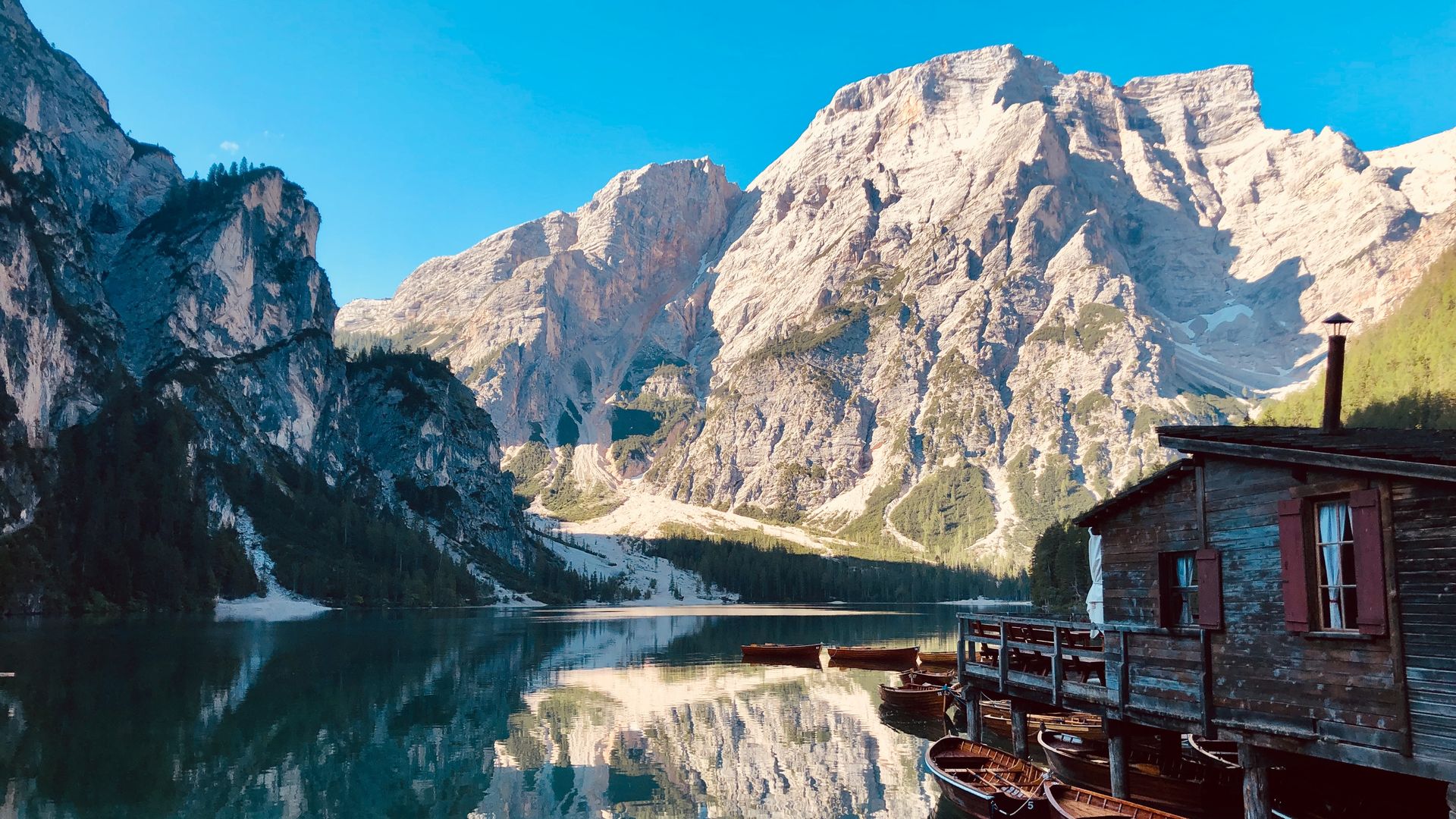
01 of 19Lago de Braies4,885 ft 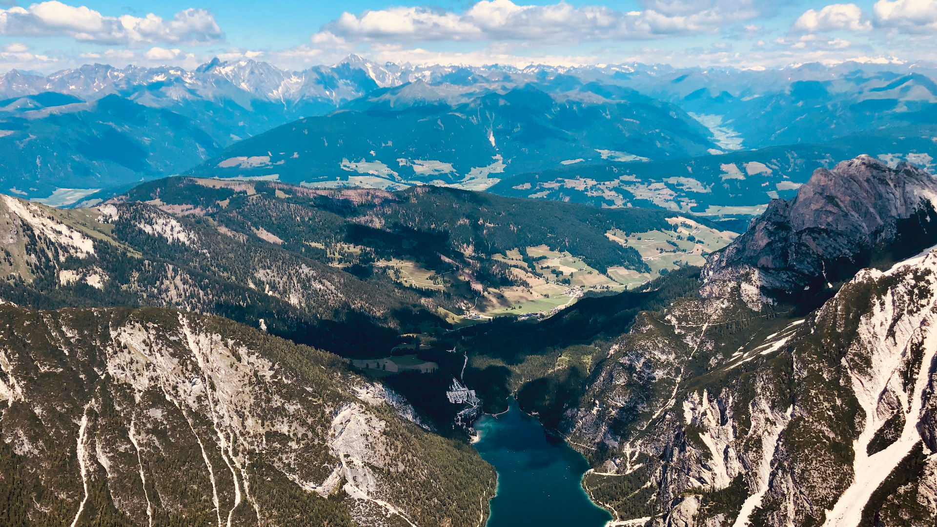
02 of 19Croda del Becco9,135 ft 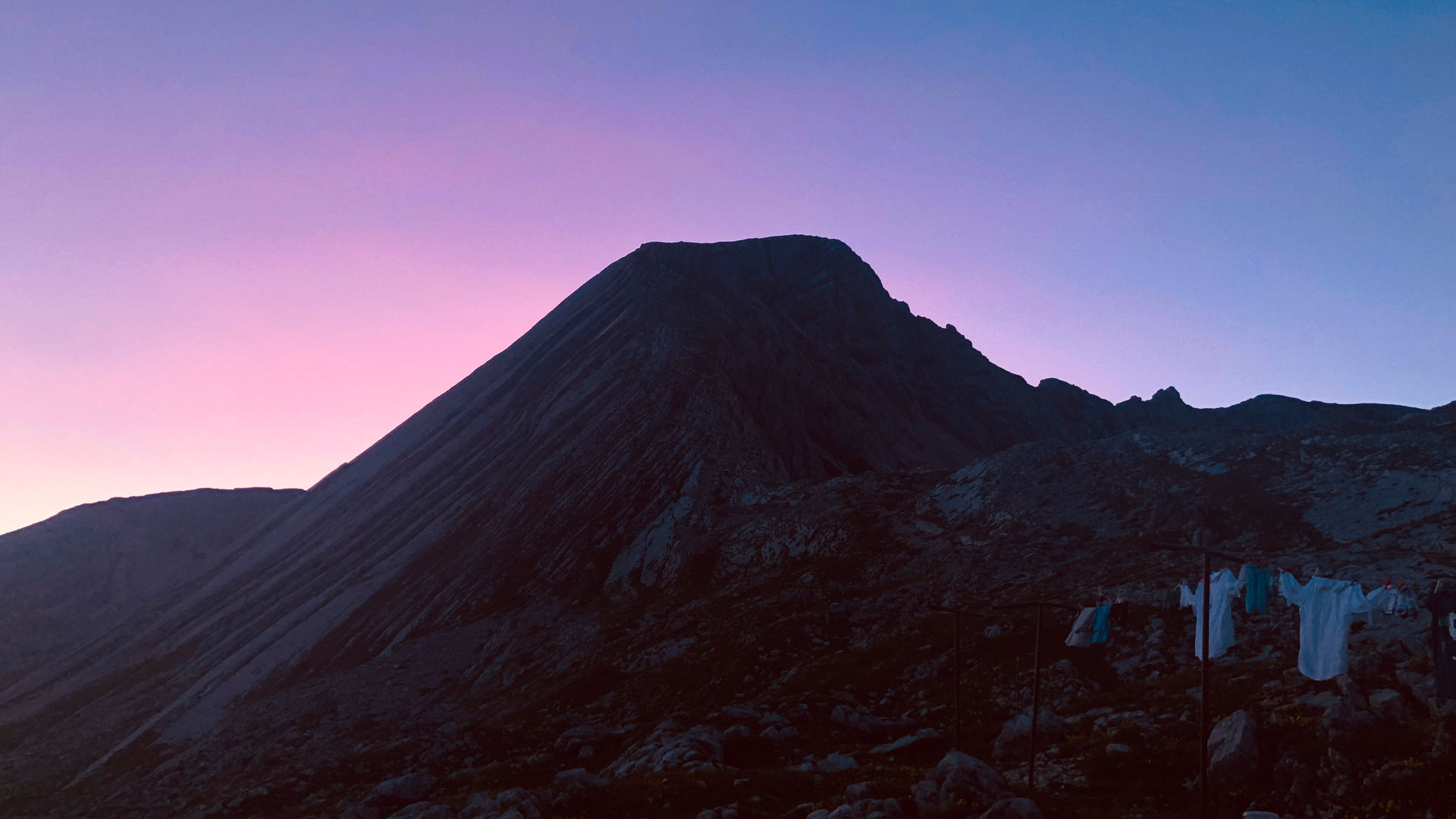
03 of 19Rifugio Bella7,642 ft 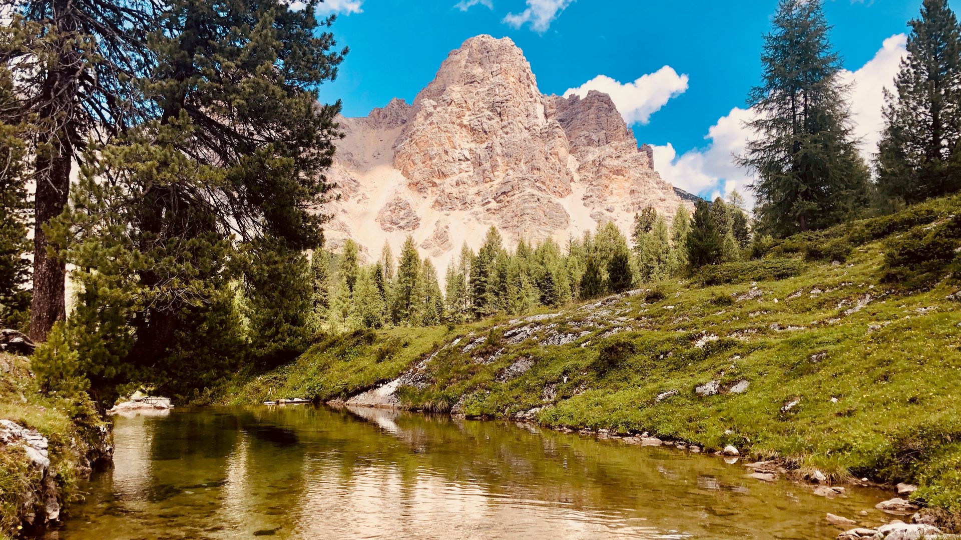
04 of 19Marebbe6,603 ft 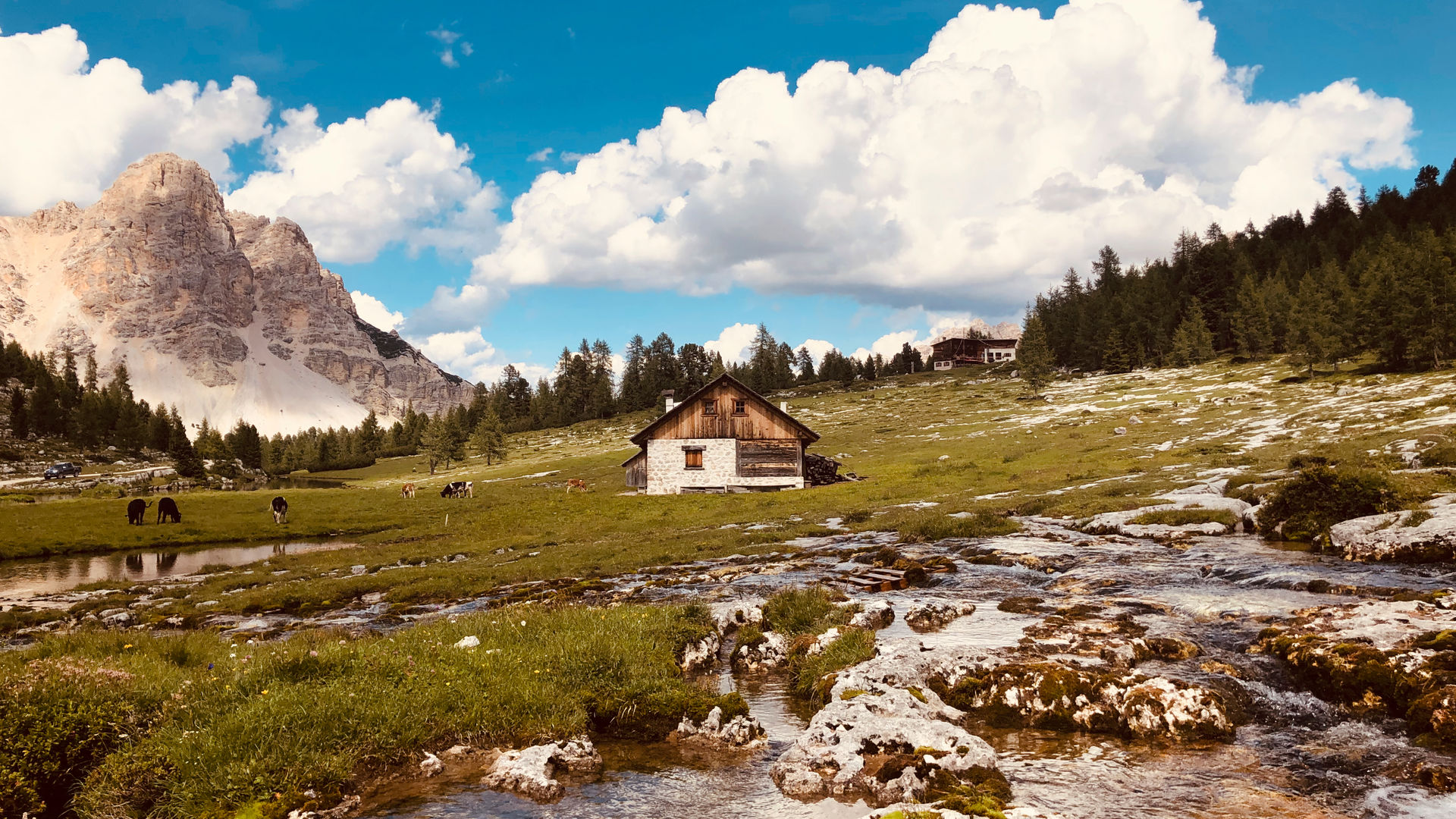
05 of 19Lavarella6,681 ft 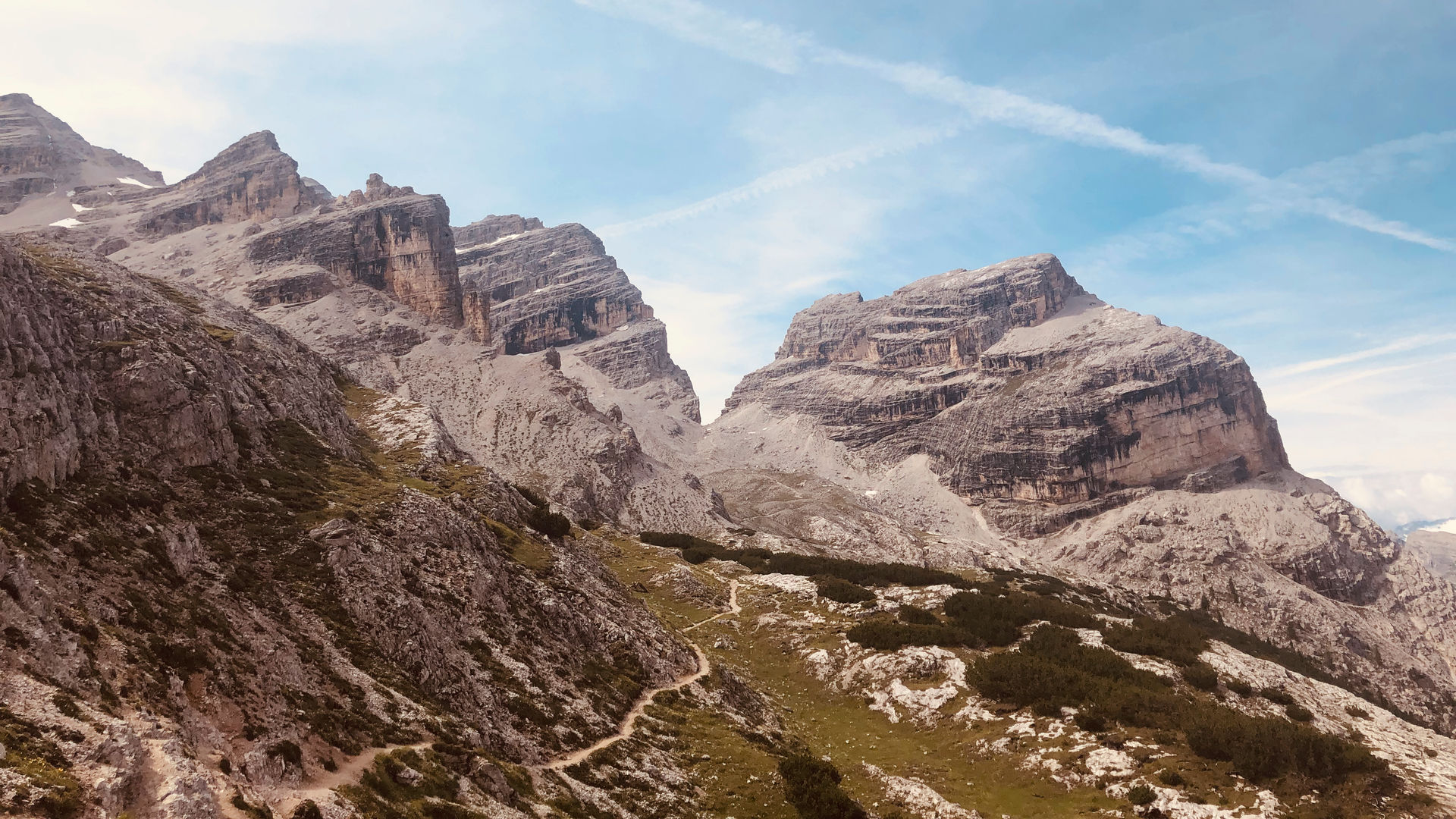
06 of 19Cima del Lago7,453 ft 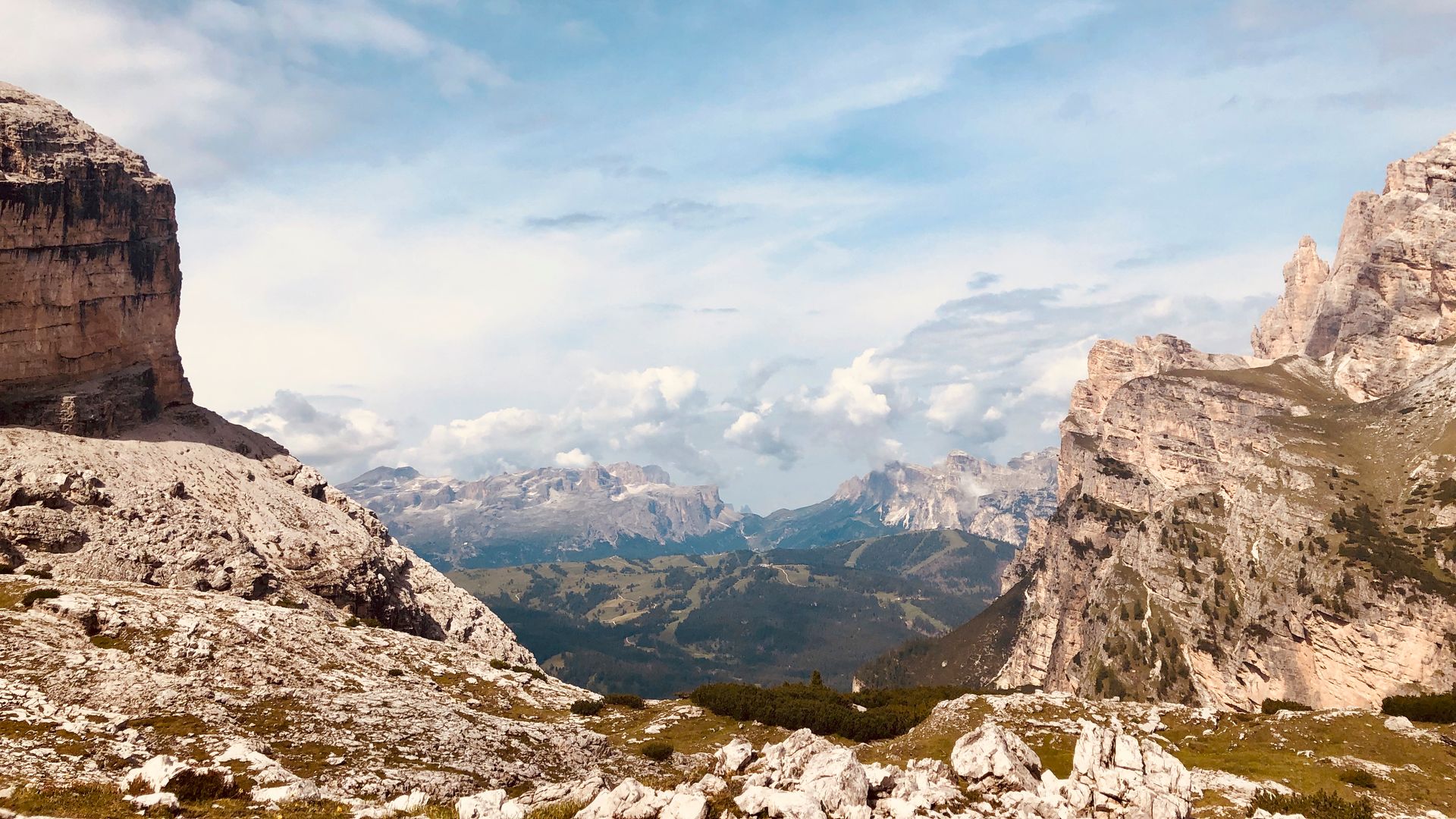
07 of 19Forcella di Lago7,659 ft 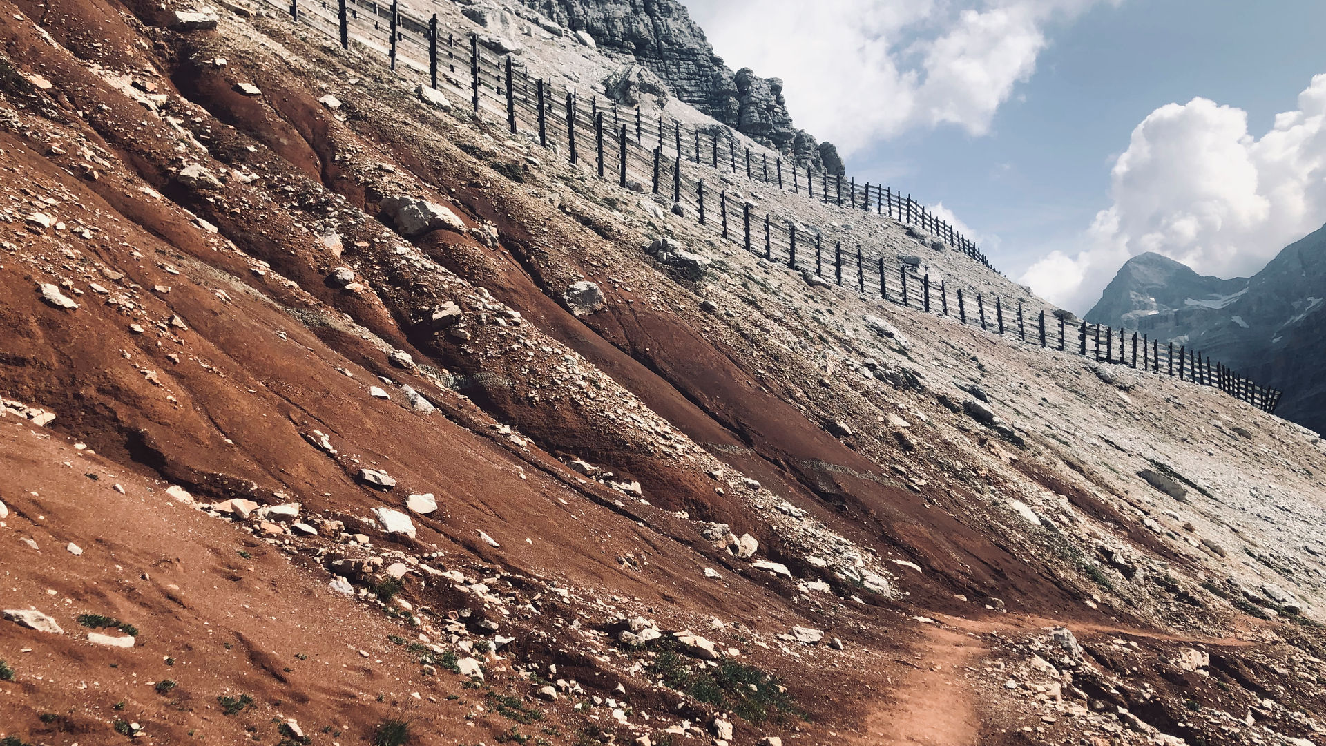
08 of 19Forcella Lagazuoi8,433 ft 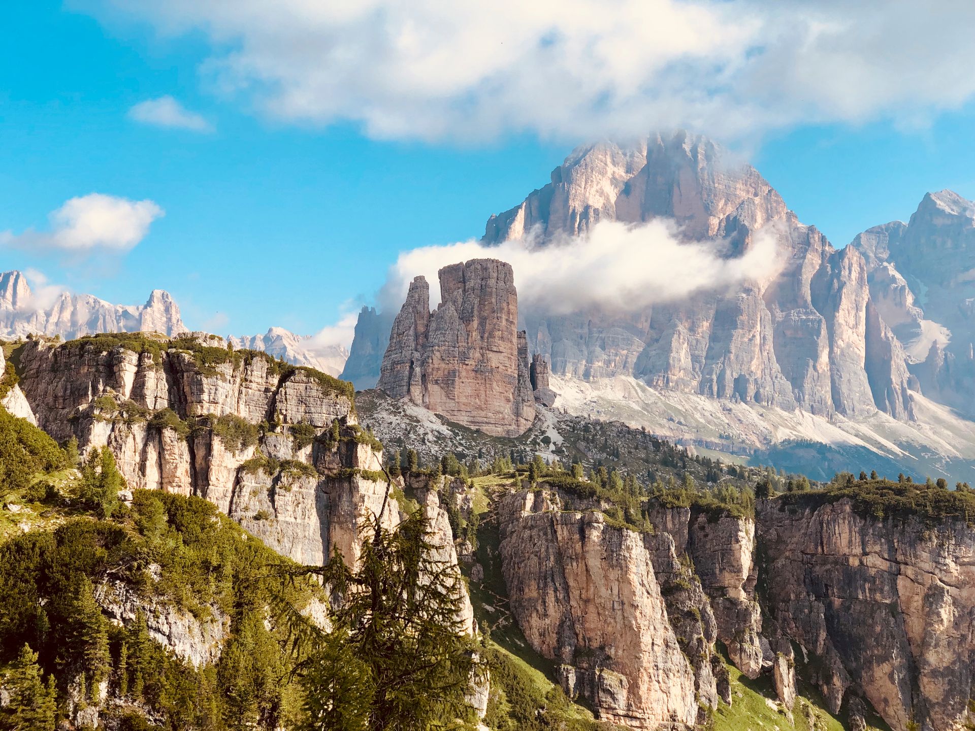
09 of 19Cinque Torri7,167 ft 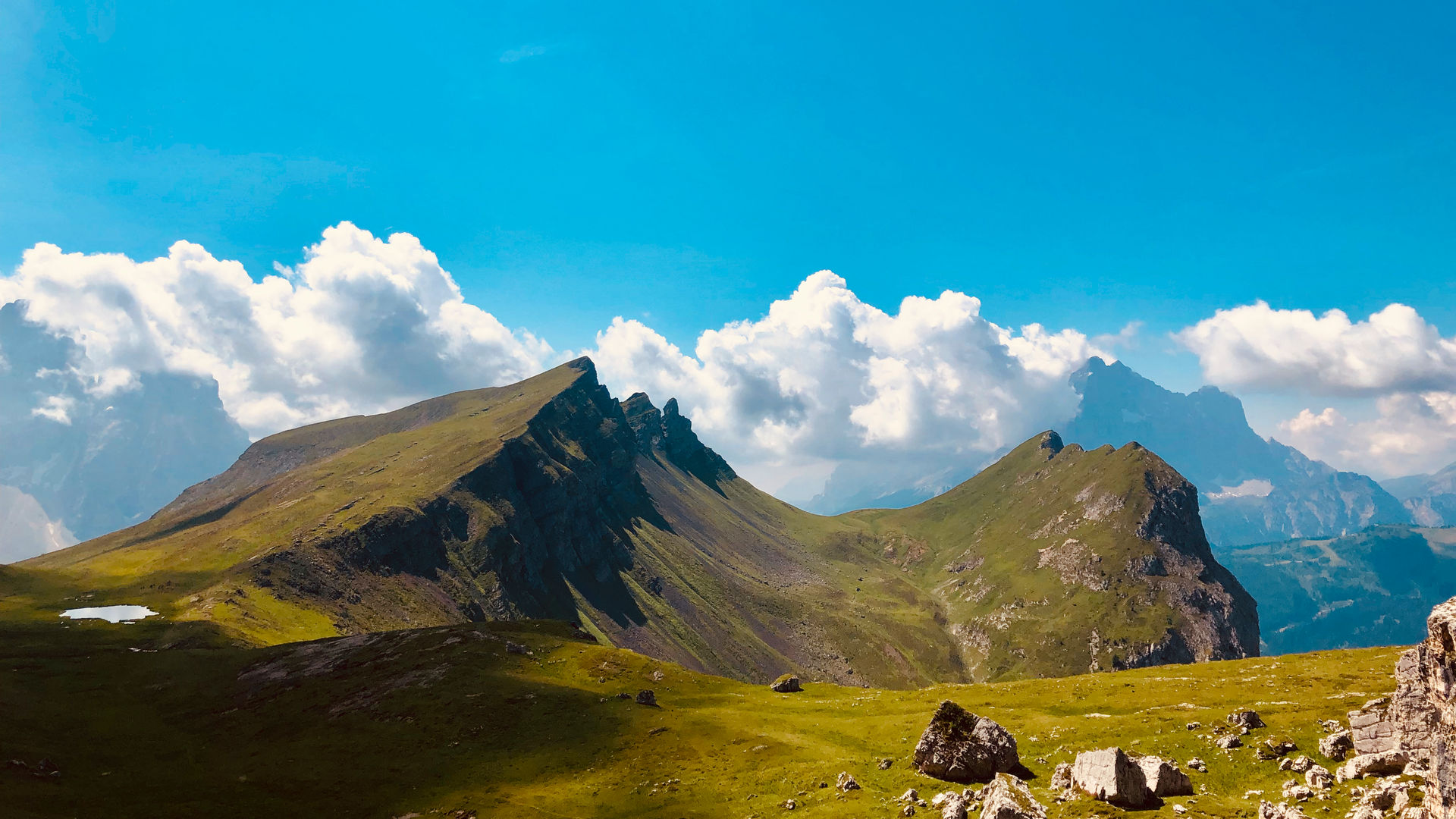
10 of 19Forcella Giau7,642 ft 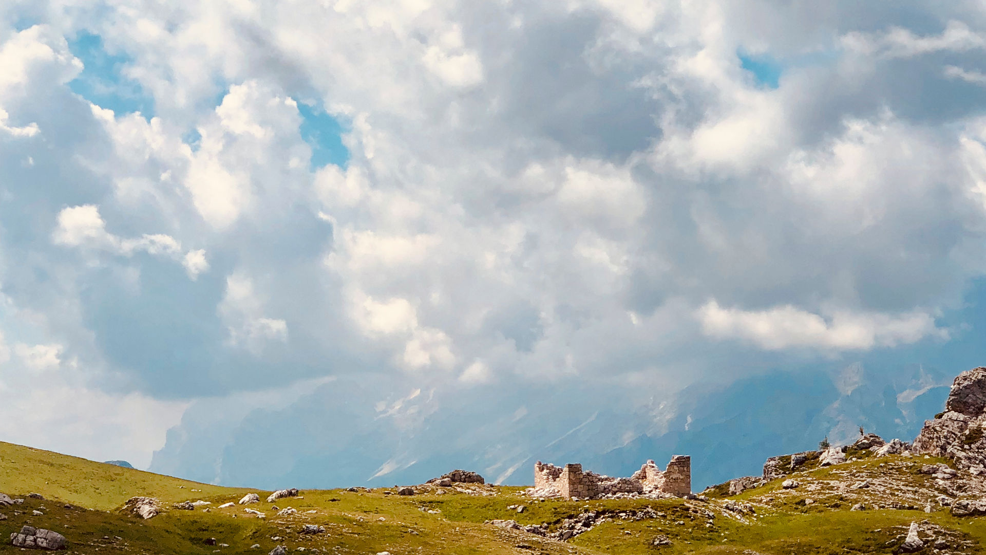
11 of 19Ponte del Moro-Lago7,288 ft 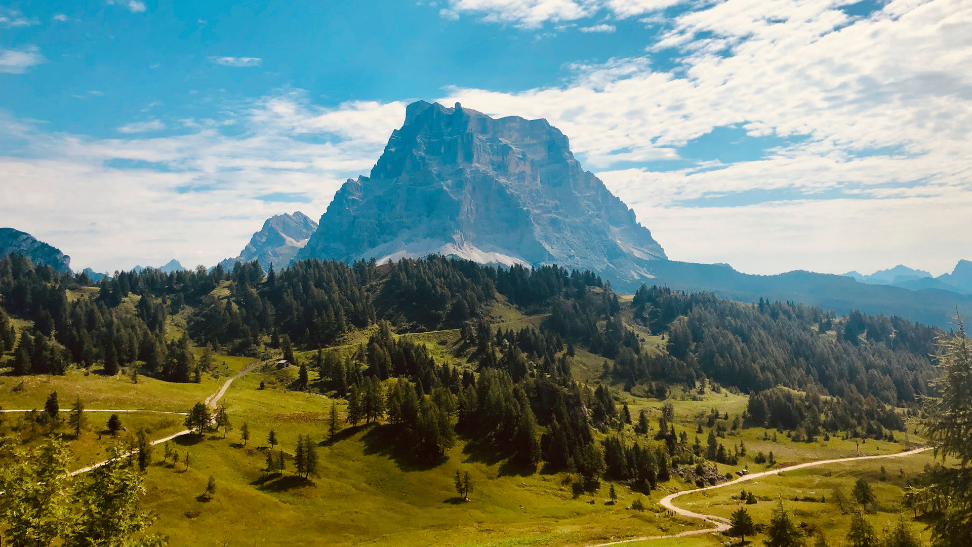
12 of 19Col dei Baldi6,151 ft 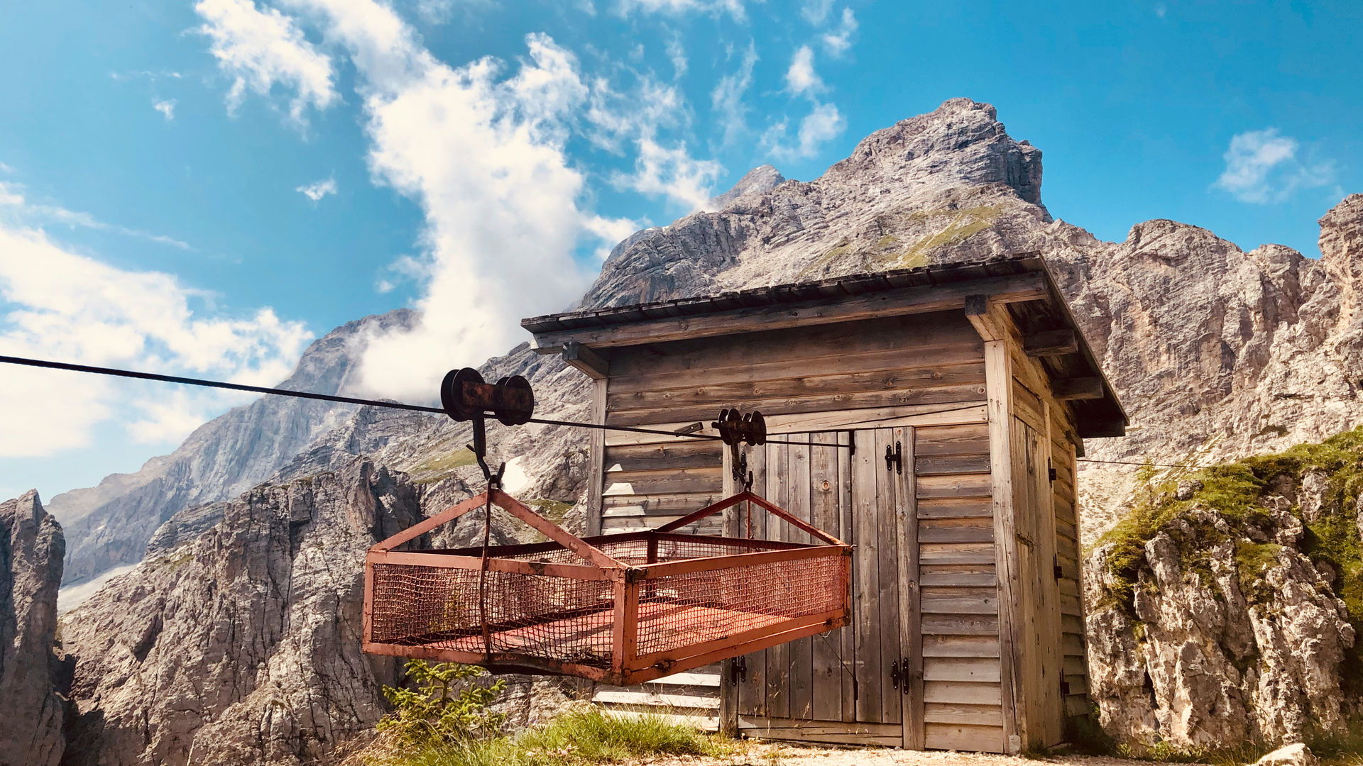
13 of 19Rifugio Coldai6,987 ft 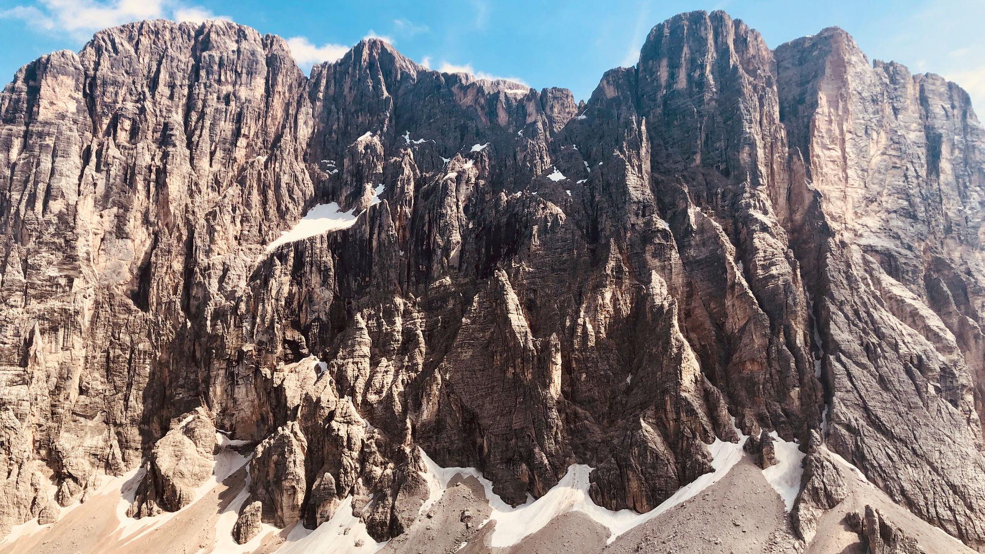
14 of 19Rifugio Tissi7,411 ft 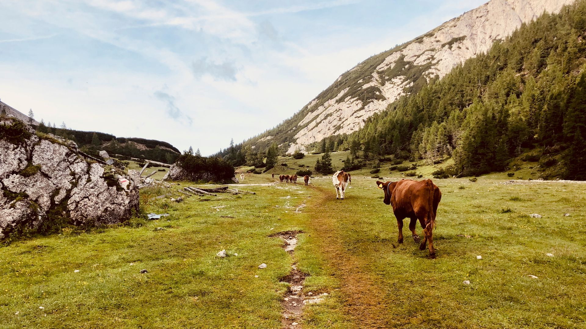
15 of 19Monte Civetta6,218 ft 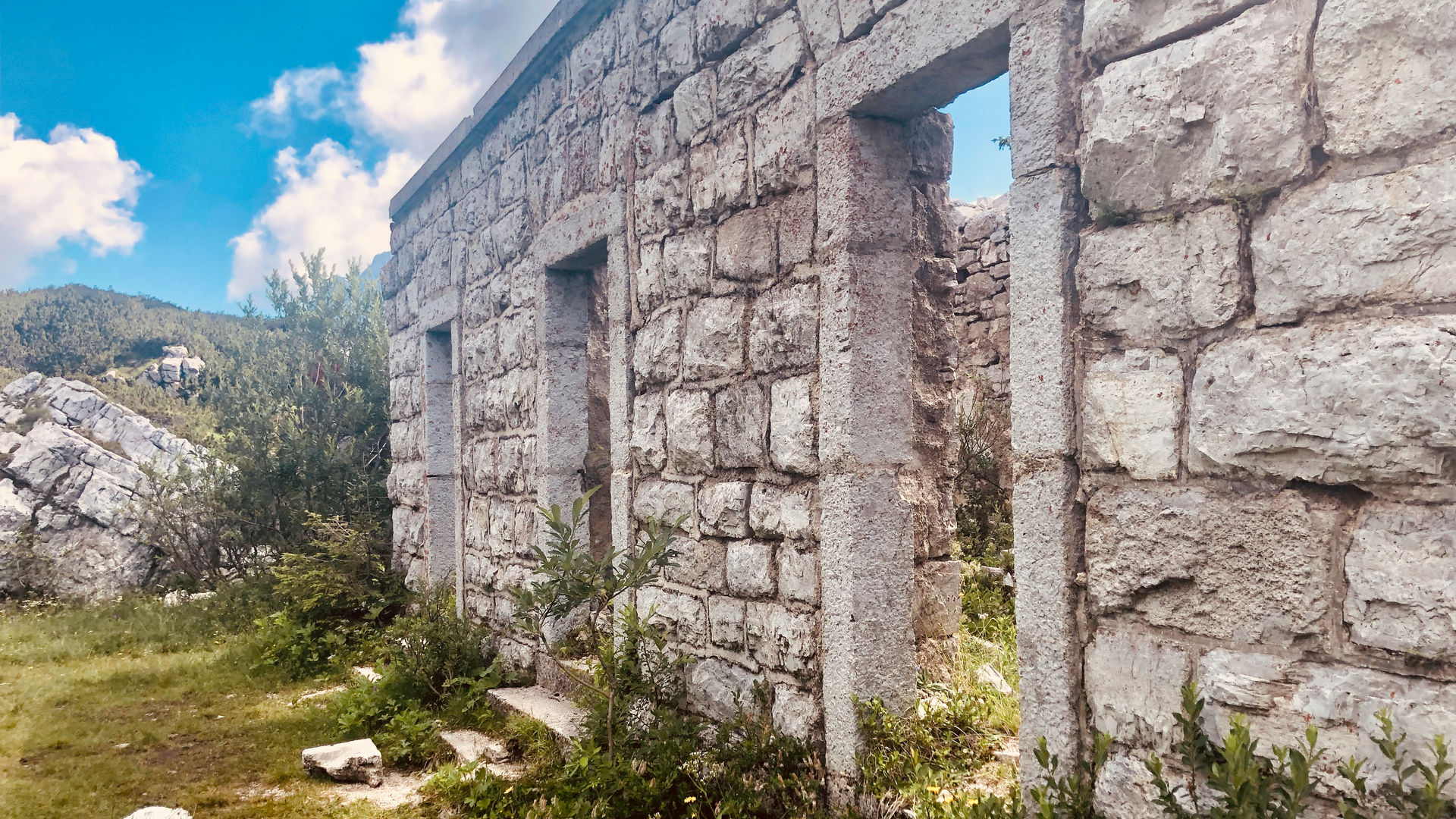
16 of 19Forcella Moschesin6,371 ft 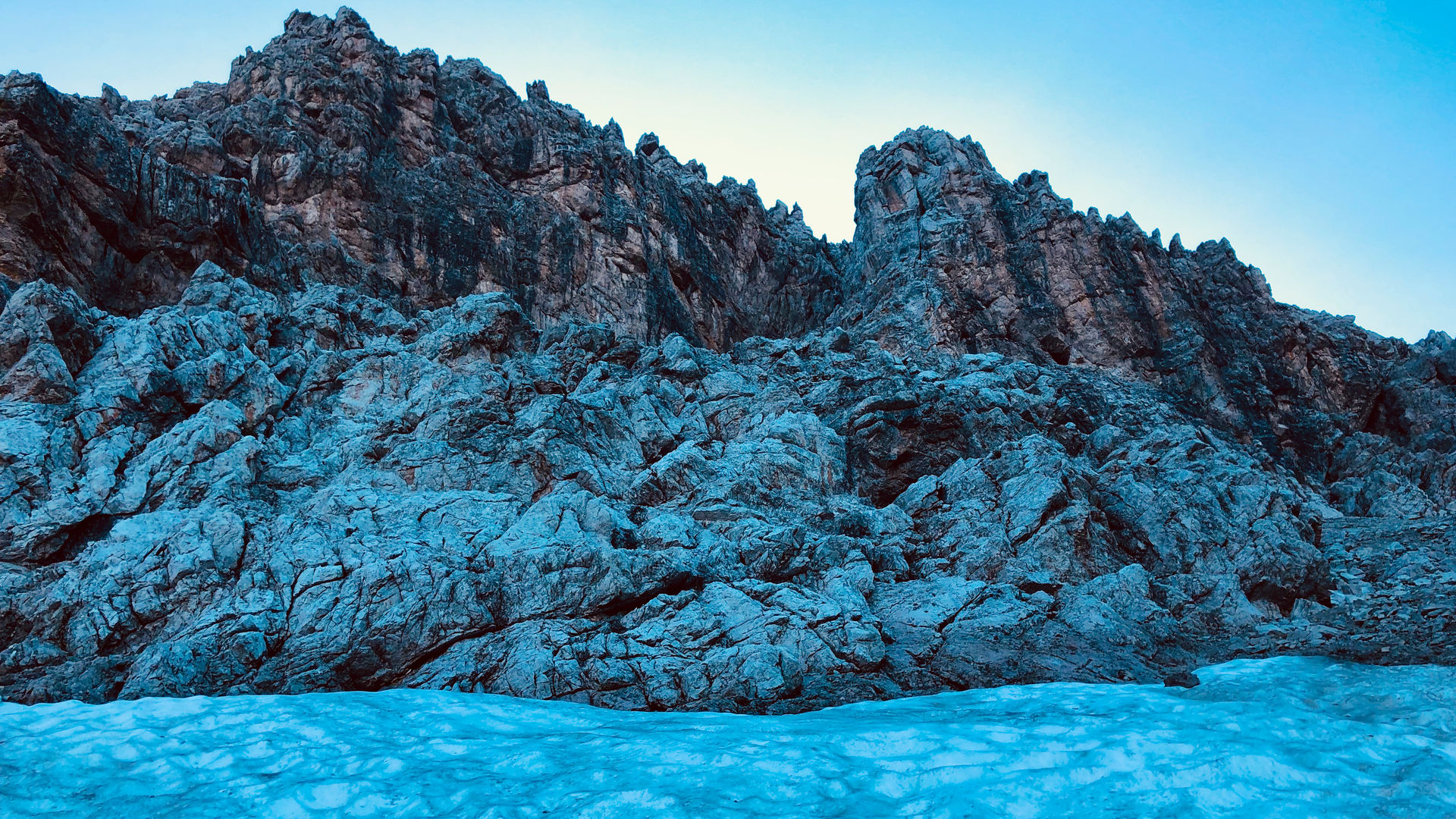
17 of 19Cima di Citta7,316 ft 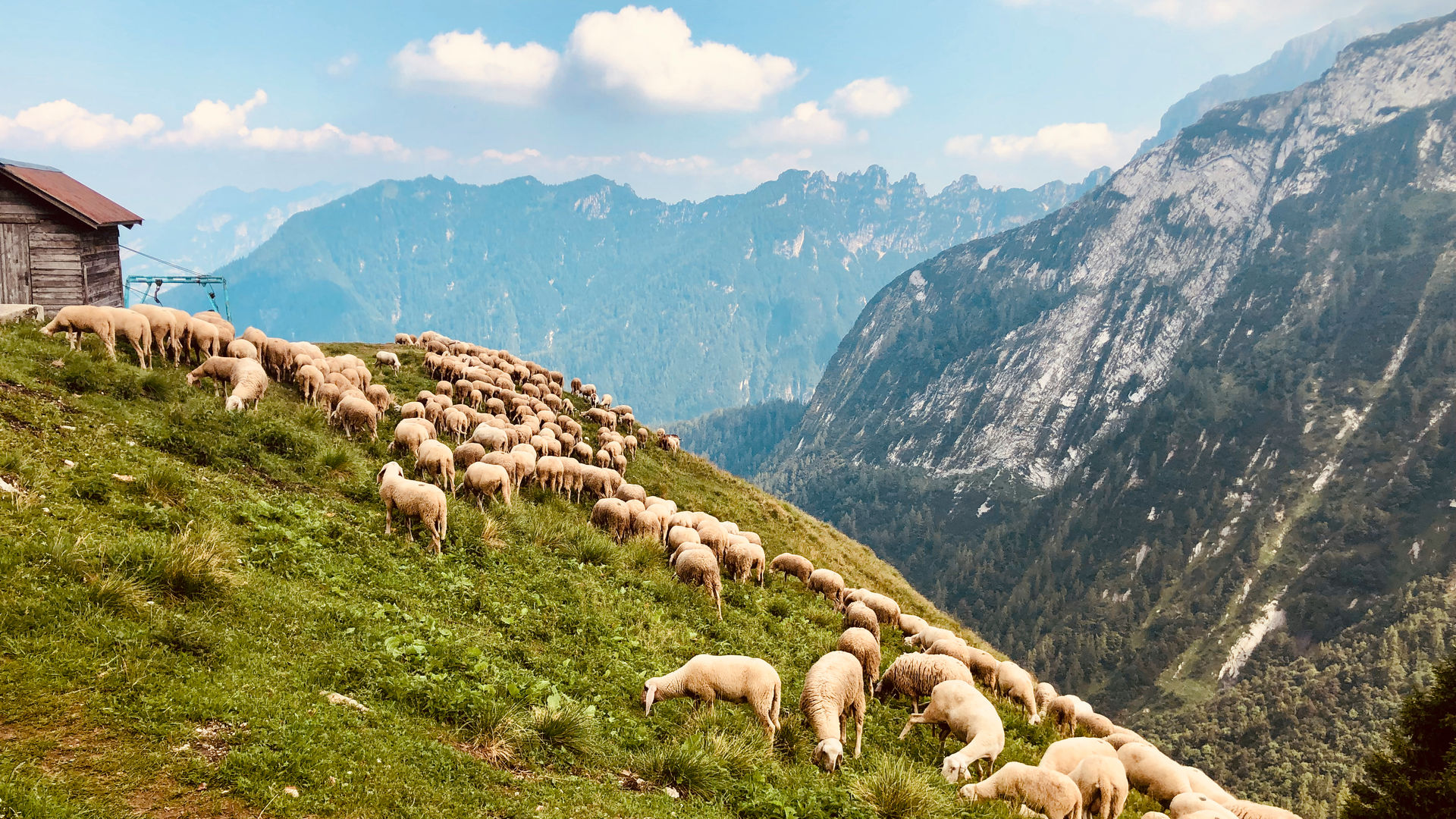
18 of 19Rifugio Pian de Fontana5,368 ft 19 of 19Forcella di Lavaretta5,617 ft